Area Overview for CF40 2PB
Photos of CF40 2PB
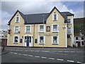
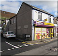
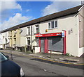
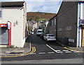

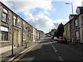
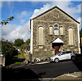
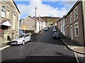
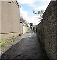

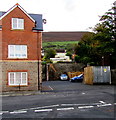
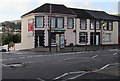
93 photos from this area
Area Information
Key information about the CF40 2PB including its size, population, and administrative classification.
- Area Type
- Postcode
- Area Size
- 1.3 hectares
- Population
- 1603
- Population Density
- 950 people/km²
House Prices in CF40 2PB
64
Properties
£66,291
Average Sold Price
£11,000
Lowest Price
£143,000
Highest Price
Showing 64 properties
| Address | Type | Beds | Baths | Last Sale Price | Last Sale Date | |
|---|---|---|---|---|---|---|
| 226 Brithweunydd Road, Trealaw, Tonypandy, CF40 2PB | Terraced | 2 | - | £75,000 | Jan 2024 | |
| 227 Brithweunydd Road, Trealaw, Tonypandy, CF40 2PB | Terraced | 2 | 1 | £108,000 | Nov 2023 | |
| 242 Brithweunydd Road, Trealaw, Tonypandy, CF40 2PB | house | 2 | 1 | £90,000 | Mar 2022 | |
| 221 Brithweunydd Road, Trealaw, Tonypandy, CF40 2PB | Terraced | 3 | 1 | £143,000 | Mar 2022 | |
| 218 Brithweunydd Road, Trealaw, Tonypandy, CF40 2PB | Terraced | 3 | - | £85,000 | Feb 2022 | |
| 247 Brithweunydd Road, Trealaw, Tonypandy, CF40 2PB | Terraced | 3 | 1 | £82,000 | Jan 2022 | |
| 240 Brithweunydd Road, Trealaw, Tonypandy, CF40 2PB | Terraced | 3 | 1 | £100,000 | Nov 2021 | |
| 239 Brithweunydd Road, Trealaw, Tonypandy, CF40 2PB | house | 3 | - | £102,000 | Aug 2021 | |
| 236 Brithweunydd Road, Trealaw, Tonypandy, CF40 2PB | Terraced | - | - | £65,000 | May 2021 | |
| 224 Brithweunydd Road, Trealaw, Tonypandy, CF40 2PB | house | - | - | £35,000 | Dec 2019 |
Page 1 of 7
Energy Efficiency in CF40 2PB
Amenities
Schools
| Rank | School | Type | Entry gender | Ages |
|---|
Explore more schools in this area
Go to Schools tabDemographics
Household Size
Family (3-5 people)
most common
Accommodation Type
Houses
most common
Tenure
76
majority
Ethnic Group
White
most common
Religion
N/A
most common
Household Composition
N/A
most common
Age
47
median
Adults (30-64 years)
most common
Household Deprivation
N/A
with no deprivation
NS-SEC
23
in Lower managerial occupations
Explore more demographic insights in this area
Go to Demographics tabPlanning
Planning Constraints
- Flood RiskPremium
- Ramsar Wetland SitesPremium
- Area of Outstanding Natural BeautyPremium
- Protected Nature ReservePremium
- Protected WoodlandPremium
- Crime RiskPremium