Area Overview for CF39 9HL
Photos of CF39 9HL
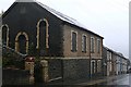
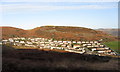
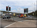
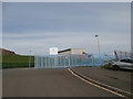
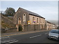
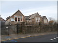
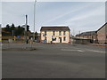
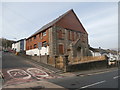
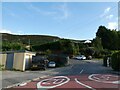
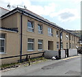
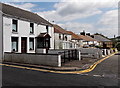
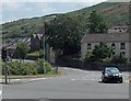
39 photos from this area
Area Information
Key information about the CF39 9HL including its size, population, and administrative classification.
- Area Type
- Postcode
- Area Size
- 7.3 hectares
- Population
- Not available
- Population Density
- Not available
House Prices in CF39 9HL
35
Properties
£67,841
Average Sold Price
£27,500
Lowest Price
£110,000
Highest Price
Showing 35 properties
| Address | Type | Beds | Baths | Last Sale Price | Last Sale Date | |
|---|---|---|---|---|---|---|
| 27 Gwaun Bedw, Cymer, Porth, CF39 9HL | house | - | - | £105,000 | Jun 2024 | |
| 14 Gwaun Bedw, Cymer, Porth, CF39 9HL | Terraced | 3 | 1 | £110,000 | May 2024 | |
| 23 Gwaun Bedw, Cymer, Porth, CF39 9HL | Land | - | - | £62,000 | Jun 2017 | |
| 15 Gwaun Bedw, Cymer, Porth, CF39 9HL | Terraced | 3 | - | £77,500 | Jun 2017 | |
| 20 Gwaun Bedw, Cymer, Porth, CF39 9HL | house | - | - | £49,000 | Apr 2015 | |
| 17 Gwaun Bedw, Cymer, Porth, CF39 9HL | house | 3 | - | £70,000 | Feb 2014 | |
| 32 Gwaun Bedw, Cymer, Porth, CF39 9HL | house | - | - | £40,000 | Feb 2014 | |
| 18 Gwaun Bedw, Cymer, Porth, CF39 9HL | Terraced | - | - | £69,000 | Aug 2012 | |
| 26 Gwaun Bedw, Cymer, Porth, CF39 9HL | house | - | - | £52,000 | Apr 2005 | |
| Ty Syriol, Gwaun Bedw, Cymer, Porth, CF39 9HL | Detached | - | - | £84,250 | Apr 2000 |
Page 1 of 4
Energy Efficiency in CF39 9HL
Amenities
Schools
| Rank | School | Type | Entry gender | Ages |
|---|
Explore more schools in this area
Go to Schools tabDemographics
Household Size
One person
most common
Accommodation Type
Houses
most common
Tenure
46
majority
Ethnic Group
White
most common
Religion
N/A
most common
Household Composition
N/A
most common
Age
47
median
Adults (30-64 years)
most common
Household Deprivation
N/A
with no deprivation
NS-SEC
13
in Lower managerial occupations
Explore more demographic insights in this area
Go to Demographics tabPlanning
Planning Constraints
- Flood RiskPremium
- Ramsar Wetland SitesPremium
- Area of Outstanding Natural BeautyPremium
- Protected Nature ReservePremium
- Protected WoodlandPremium
- Crime RiskPremium