Area Overview for CF39 9EP
Photos of CF39 9EP
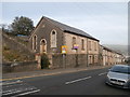
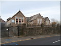
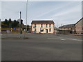
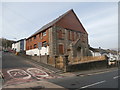
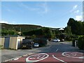
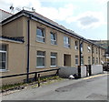
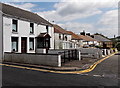
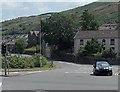
39 photos from this area
Area Information
Key information about the CF39 9EP including its size, population, and administrative classification.
- Area Type
- Postcode
- Area Size
- 1.4 hectares
- Population
- 1357
- Population Density
- 1990 people/km²
House Prices in CF39 9EP
37
Properties
£78,423
Average Sold Price
£34,000
Lowest Price
£159,950
Highest Price
Showing 37 properties
| Address | Type | Beds | Baths | Last Sale Price | Last Sale Date | |
|---|---|---|---|---|---|---|
| 287 Trebanog Road, Trebanog, Porth, CF39 9EP | Terraced | 3 | 1 | £159,950 | Oct 2025 | |
| 12 Trebanog Road, Trebanog, Porth, CF39 9EP | Terraced | 2 | 1 | £65,000 | Dec 2023 | |
| 21 Trebanog Road, Trebanog, Porth, CF39 9EP | Detached | 3 | 1 | £145,000 | Dec 2023 | |
| 303 Trebanog Road, Trebanog, Porth, CF39 9EP | Retail | 2 | 1 | £95,000 | Apr 2022 | |
| 15 Trebanog Road, Trebanog, Porth, CF39 9EP | house | - | - | £45,000 | Mar 2020 | |
| 304 Trebanog Road, Trebanog, Porth, CF39 9EP | house | - | - | £50,000 | Sep 2018 | |
| 302 Trebanog Road, Trebanog, Porth, CF39 9EP | Terraced | 2 | 1 | £69,950 | Feb 2018 | |
| 305 Trebanog Road, Trebanog, Porth, CF39 9EP | Terraced | 3 | 1 | £95,000 | Feb 2018 | |
| 291 Trebanog Road, Trebanog, Porth, CF39 9EP | Terraced | 3 | 1 | £34,000 | Aug 2014 | |
| 286 Trebanog Road, Trebanog, Porth, CF39 9EP | house | - | - | £55,000 | Mar 2004 |
Page 1 of 4
Energy Efficiency in CF39 9EP
Amenities
Schools
| Rank | School | Type | Entry gender | Ages |
|---|
Explore more schools in this area
Go to Schools tabDemographics
Household Size
One person
most common
Accommodation Type
Houses
most common
Tenure
60
majority
Ethnic Group
White
most common
Religion
N/A
most common
Household Composition
N/A
most common
Age
47
median
Adults (30-64 years)
most common
Household Deprivation
N/A
with no deprivation
NS-SEC
13
in Lower managerial occupations
Explore more demographic insights in this area
Go to Demographics tabPlanning
Planning Constraints
- Flood RiskPremium
- Ramsar Wetland SitesPremium
- Area of Outstanding Natural BeautyPremium
- Protected Nature ReservePremium
- Protected WoodlandPremium
- Crime RiskPremium