Area Overview for CF38 2SH
Photos of CF38 2SH
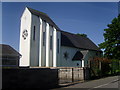
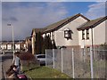
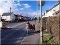
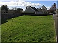
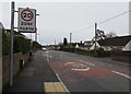
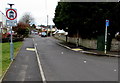
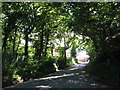
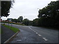
15 photos from this area
Area Information
Key information about the CF38 2SH including its size, population, and administrative classification.
- Area Type
- Postcode
- Area Size
- 1.1 hectares
- Population
- 1309
- Population Density
- 6148 people/km²
House Prices in CF38 2SH
26
Properties
£109,329
Average Sold Price
£40,000
Lowest Price
£207,000
Highest Price
Showing 26 properties
| Address | Type | Beds | Baths | Last Sale Price | Last Sale Date | |
|---|---|---|---|---|---|---|
| 21 Heol Ap Pryce, Beddau, CF38 2SH | house | - | - | £207,000 | Dec 2020 | |
| 26 Heol Ap Pryce, Beddau, CF38 2SH | Semi-detached | 3 | 1 | £157,950 | Nov 2017 | |
| 25 Heol Ap Pryce, Beddau, CF38 2SH | Semi-detached | 3 | 1 | £137,000 | Oct 2016 | |
| 13 Heol Ap Pryce, Beddau, CF38 2SH | Semi-detached | 3 | 1 | £132,000 | Feb 2015 | |
| 9 Heol Ap Pryce, Beddau, CF38 2SH | house | - | - | £118,000 | Apr 2011 | |
| 14 Heol Ap Pryce, Beddau, CF38 2SH | Semi-detached | 3 | - | £115,000 | Feb 2008 | |
| 20 Heol Ap Pryce, Beddau, CF38 2SH | house | - | - | £115,000 | Apr 2007 | |
| 10 Heol Ap Pryce, Beddau, CF38 2SH | house | - | - | £140,000 | Jun 2005 | |
| 22 Heol Ap Pryce, Beddau, CF38 2SH | Semi-detached | - | - | £52,000 | Jan 2002 | |
| 11 Heol Ap Pryce, Beddau, CF38 2SH | house | - | - | £44,000 | Jun 1998 |
Page 1 of 3
Energy Efficiency in CF38 2SH
Amenities
Schools
| Rank | School | Type | Entry gender | Ages |
|---|
Explore more schools in this area
Go to Schools tabDemographics
Household Size
Two person
most common
Accommodation Type
Houses
most common
Tenure
80
majority
Ethnic Group
White
most common
Religion
N/A
most common
Household Composition
N/A
most common
Age
47
median
Adults (30-64 years)
most common
Household Deprivation
N/A
with no deprivation
NS-SEC
28
in Lower managerial occupations
Explore more demographic insights in this area
Go to Demographics tabPlanning
Planning Constraints
- Flood RiskPremium
- Ramsar Wetland SitesPremium
- Area of Outstanding Natural BeautyPremium
- Protected Nature ReservePremium
- Protected WoodlandPremium
- Crime RiskPremium