Area Overview for CF37 3LS
Photos of CF37 3LS
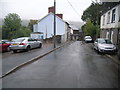
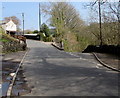
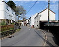
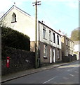
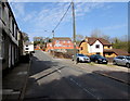
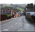
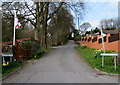
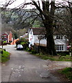
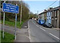
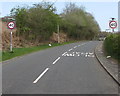
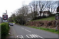

24 photos from this area
Area Information
Key information about the CF37 3LS including its size, population, and administrative classification.
- Area Type
- Postcode
- Area Size
- 70.9 hectares
- Population
- 1459
- Population Density
- 87 people/km²
House Prices in CF37 3LS
16
Properties
£102,440
Average Sold Price
£65,000
Lowest Price
£124,950
Highest Price
Showing 16 properties
| Address | Type | Beds | Baths | Last Sale Price | Last Sale Date | |
|---|---|---|---|---|---|---|
| Carreg Barn, Mill Road, Ynys Y Bwl, Pontypridd, CF37 3LS | Semi-detached | - | - | £100,000 | Jun 2017 | |
| Riverbank Cottage, Mill Road, Ynys Y Bwl, Pontypridd, CF37 3LS | Bungalow | - | - | £124,950 | Mar 2016 | |
| 1, Aberffrwd, Mill Road, Ynys Y Bwl, Pontypridd, CF37 3LS | house | - | - | £65,000 | Aug 2000 | |
| Ymyl Y Ffordd, Mill Road, Ynys Y Bwl, Pontypridd, CF37 3LS | house | - | - | £114,250 | Aug 1999 | |
| Tyr Efail, Mill Road, Ynys Y Bwl, Pontypridd, CF37 3LS | Detached | - | - | £108,000 | Mar 1998 | |
| Farmhouse, Gilfach Glyd Farm, Mill Road, Ynys Y Bwl, Pontypridd, CF37 3LS | Farm | 5 | 2 | - | - | |
| Hendre House, Mill Road, Ynys Y Bwl, Pontypridd, CF37 3LS | Detached | 5 | 2 | - | - | |
| Flat Above Old Ynysybwl Inn, Mill Road, Ynys Y Bwl, Pontypridd, CF37 3LS | Flat | - | - | - | - | |
| Pwllhelyg Barn, Mill Road, Ynys Y Bwl, Pontypridd, CF37 3LS | house | - | - | - | - | |
| Swn Yr Afon, Mill Road, Ynys Y Bwl, Pontypridd, CF37 3LS | house | - | - | - | - |
Page 1 of 2
Energy Efficiency in CF37 3LS
Amenities
Schools
| Rank | School | Type | Entry gender | Ages |
|---|
Explore more schools in this area
Go to Schools tabDemographics
Household Size
Two person
most common
Accommodation Type
Houses
most common
Tenure
74
majority
Ethnic Group
White
most common
Religion
N/A
most common
Household Composition
N/A
most common
Age
47
median
Adults (30-64 years)
most common
Household Deprivation
N/A
with no deprivation
NS-SEC
26
in Lower managerial occupations
Explore more demographic insights in this area
Go to Demographics tabPlanning
Planning Constraints
- Flood RiskPremium
- Ramsar Wetland SitesPremium
- Area of Outstanding Natural BeautyPremium
- Protected Nature ReservePremium
- Protected WoodlandPremium
- Crime RiskPremium