Area Overview for CF15 7TQ
Photos of CF15 7TQ
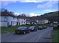
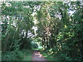
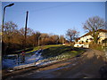
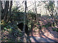
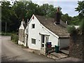
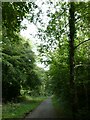
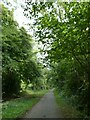
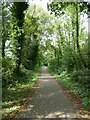
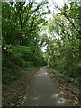
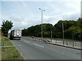
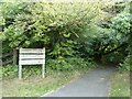
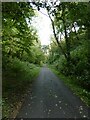
41 photos from this area
Area Information
Key information about the CF15 7TQ including its size, population, and administrative classification.
- Area Type
- Postcode
- Area Size
- 1.3 hectares
- Population
- 1900
- Population Density
- 349 people/km²
House Prices in CF15 7TQ
9
Properties
£197,438
Average Sold Price
£82,000
Lowest Price
£290,000
Highest Price
Showing 9 properties
| Address | Type | Beds | Baths | Last Sale Price | Last Sale Date | |
|---|---|---|---|---|---|---|
| 2 Church Lane, Taffs Well, CF15 7TQ | Semi-detached | 2 | 1 | £82,000 | May 2023 | |
| Garth View, 9 Church Lane, Taffs Well, CF15 7TQ | Bungalow | 2 | 1 | £265,000 | Dec 2017 | |
| Peta Bungalow, Church Lane, Taffs Well, CF15 7TQ | Bungalow | 4 | - | £195,000 | Oct 2015 | |
| Brynteg, 3 Church Lane, Taffs Well, CF15 7TQ | house | - | - | £290,000 | Sep 2015 | |
| 7 Church Lane, Taffs Well, CF15 7TQ | Detached | 2 | 1 | £175,000 | Jul 2009 | |
| Glan Y Nant, 4 Church Lane, Taffs Well, CF15 7TQ | house | - | - | £245,000 | Feb 2007 | |
| Plas Mair, 5 Church Lane, Taffs Well, CF15 7TQ | Detached | - | - | £232,500 | Jan 2004 | |
| The Cottage, 1 Church Lane, Taffs Well, CF15 7TQ | Cottage | 3 | 1 | £95,000 | Oct 2001 | |
| Haulwen House, Church Lane, Taffs Well, CF15 7TQ | Detached | - | - | - | - |
Energy Efficiency in CF15 7TQ
Amenities
Schools
| Rank | School | Type | Entry gender | Ages |
|---|
Explore more schools in this area
Go to Schools tabDemographics
Household Size
Two person
most common
Accommodation Type
Houses
most common
Tenure
82
majority
Ethnic Group
White
most common
Religion
N/A
most common
Household Composition
N/A
most common
Age
47
median
Adults (30-64 years)
most common
Household Deprivation
N/A
with no deprivation
NS-SEC
35
in Lower managerial occupations
Explore more demographic insights in this area
Go to Demographics tabPlanning
Planning Constraints
- Flood RiskPremium
- Ramsar Wetland SitesPremium
- Area of Outstanding Natural BeautyPremium
- Protected Nature ReservePremium
- Protected WoodlandPremium
- Crime RiskPremium