Area Overview for CF15 7QD
Photos of CF15 7QD
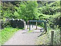
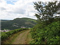
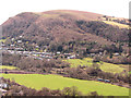
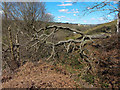
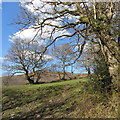
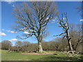
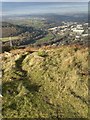
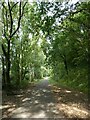
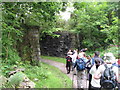
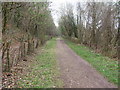
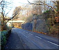
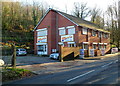
23 photos from this area
Area Information
Key information about the CF15 7QD including its size, population, and administrative classification.
- Area Type
- Postcode
- Area Size
- 2.6 hectares
- Population
- 1900
- Population Density
- 349 people/km²
House Prices in CF15 7QD
24
Properties
£227,400
Average Sold Price
£110,000
Lowest Price
£370,000
Highest Price
Showing 24 properties
| Address | Type | Beds | Baths | Last Sale Price | Last Sale Date | |
|---|---|---|---|---|---|---|
| Newholme, Cardiff Road, Glan Y Llyn, Taffs Well, CF15 7QD | Semi-detached | 3 | 2 | £370,000 | Apr 2025 | |
| 12 Cardiff Road, Glan Y Llyn, Taffs Well, CF15 7QD | Terraced | 2 | 1 | £250,000 | Feb 2025 | |
| Auckland, Cardiff Road, Taffs Well, CF15 7QD | Semi-detached | 3 | 1 | £301,500 | Jan 2023 | |
| Oakfield, Cardiff Road, Taffs Well, CF15 7QD | Semi-detached | 4 | - | £284,500 | May 2017 | |
| 16 Cardiff Road, Glan Y Llyn, Taffs Well, CF15 7QD | house | - | - | £230,000 | Nov 2016 | |
| 14 Cardiff Road, Glan-y-llyn, Taffs Well, Cardiff, CF15 7QD | Terraced | 2 | 1 | £163,000 | Dec 2014 | |
| The Lodge, Cardiff Road, Glan Y Llyn, Taffs Well, CF15 7QD | house | - | - | £250,000 | Oct 2009 | |
| 2 Cardiff Road, Glan Y Llyn, Taffs Well, CF15 7QD | Terraced | 2 | - | £175,000 | Aug 2007 | |
| The Lilypad, 10 Cardiff Road, Glan Y Llyn, Taffs Well, CF15 7QD | house | - | - | £140,000 | Dec 2006 | |
| 6 Cardiff Road, Glan Y Llyn, Taffs Well, CF15 7QD | house | - | - | £110,000 | Jan 2004 |
Page 1 of 3
Energy Efficiency in CF15 7QD
Amenities
Schools
| Rank | School | Type | Entry gender | Ages |
|---|
Explore more schools in this area
Go to Schools tabDemographics
Household Size
Two person
most common
Accommodation Type
Houses
most common
Tenure
82
majority
Ethnic Group
White
most common
Religion
N/A
most common
Household Composition
N/A
most common
Age
47
median
Adults (30-64 years)
most common
Household Deprivation
N/A
with no deprivation
NS-SEC
35
in Lower managerial occupations
Explore more demographic insights in this area
Go to Demographics tabPlanning
Planning Constraints
- Flood RiskPremium
- Ramsar Wetland SitesPremium
- Area of Outstanding Natural BeautyPremium
- Protected Nature ReservePremium
- Protected WoodlandPremium
- Crime RiskPremium