Area Overview for Trealaw Community
Photos of Trealaw Community
Area Information
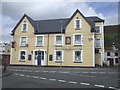
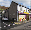
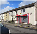
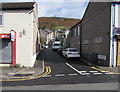
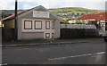
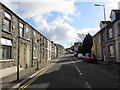
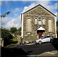
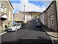
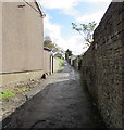
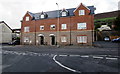
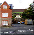
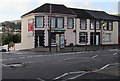
Trealaw Community stands as a distinct civil parish within the Rhondda Valley, covering an area of 2.7 square kilometres. This long village stretches over two miles, stretching from Cemetery Road in the east to Ynyscynon Road in the northwest. It functions primarily as a dormitory town for nearby Tonypandy. The landscape here carries deep historical weight, containing traces of pre-19th century history at Ynys-y-Crug, a 12th-century timber motte-and-bailey castle near the confluence of Nant Clydach and Rhondda Fawr rivers. The modern settlement evolved rapidly during the coal-rush of the 1860s and 70s, founded by Dafydd Williams though mining activities began earlier in 1839. Trealaw Cemetery, opened in 1875 at Llethrddu, serves as a significant local landmark. It holds war graves and burials from the 1965 Cambrian Colliery disaster, along with the resting places of figures like Lord Tonypandy and William Evans. For those considering living in Trealaw, the environment offers a blend of historical significance and functional utility. The housing stock reflects its origins as a working-class industrial settlement that transitioned into a residential area for commuters. The community feels grounded in its local heritage, visible in the open spaces and historic burial grounds that shape the neighbourhood layout.
- Area Type
- Parish
- Area Size
- 2.7 km²
- Population
- Not available
- Population Density
- Not available
Demographics
The people residing in Trealaw Community have a defined demographic profile characterised by a mature population. The median age within the parish is 70 years, indicating an older resident base compared to the national average. Data confirms that the Total age range represents the most common grouping for the population. Home ownership is high, with 67% of households owning their property outright. This figure suggests a stable community where residents are established rather than transient. There are no specific records provided for household composition breakdowns, predominant ethnic groups, or religious affiliations within the current dataset. The high ownership rate aligns with the older median age, implying many families have lived here for decades. Living in Trealaw involves navigating a community where elderly residents remain the core demographic. The lack of young families in the current data points toward a quiet, settled atmosphere rather than a dynamic mix of ages. Local amenities like the Maes-yr-Haf Education Centre and Dan Murphy Day Centre cater to existing community needs, reflecting services designed for the current population structure.
Household Size
Accommodation Type
Tenure
Ethnic Group
Religion
Household Composition
Age
Household Deprivation
NS-SEC
Explore more demographic insights in this area
Go to Demographics tabPlanning
Planning Constraints
- Flood RiskPremium
- Ramsar Wetland SitesPremium
- Area of Outstanding Natural BeautyPremium
- Protected Nature ReservePremium
- Protected WoodlandPremium
- Crime RiskPremium