Area Overview for SY22 6DX
Photos of SY22 6DX
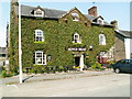
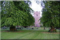
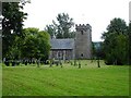
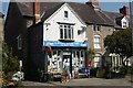
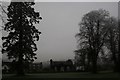
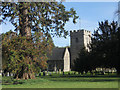
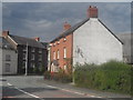
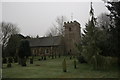
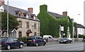
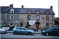

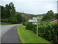
31 photos from this area
Area Information
Key information about the SY22 6DX including its size, population, and administrative classification.
- Area Type
- Postcode
- Area Size
- 3.9 hectares
- Population
- 2399
- Population Density
- 18 people/km²
House Prices in SY22 6DX
13
Properties
£240,500
Average Sold Price
£204,000
Lowest Price
£310,000
Highest Price
Showing 13 properties
| Address | Type | Beds | Baths | Last Sale Price | Last Sale Date | |
|---|---|---|---|---|---|---|
| 10 Pentre Clawdd, Meifod, SY22 6DX | Detached | 4 | 1 | £310,000 | Aug 2021 | |
| 1 Pentre Clawdd, Meifod, SY22 6DX | Bungalow | - | - | £223,000 | Nov 2020 | |
| 8 Pentre Clawdd, Meifod, SY22 6DX | house | - | - | £225,000 | Nov 2015 | |
| Hafan, 9 Pentre Clawdd, Meifod, SY22 6DX | house | 4 | 2 | £204,000 | Jul 2015 | |
| Caravan At Clawdd Llesg, C 2047 From Junction With B 4392 By Maesmawr Smithy Maesmawr To Junction U 2164 Opposite Pen Y Clawdd, Maes Mawr, Welshpool, SY22 6DX | Mobile Home | - | - | - | - | |
| 11A Pentre Clawdd, Meifod, SY22 6DX | Flat | - | - | - | - | |
| Dyffryn Efrog, 6 Pentre Clawdd, Meifod, SY22 6DX | Detached | - | - | - | - | |
| Yenton, 4 Pentre Clawdd, Meifod, SY22 6DX | Detached | - | - | - | - | |
| Crud-yr-awel, 3 Pentre Clawdd, Meifod, SY22 6DX | Detached | - | - | - | - | |
| Brookmead, 7 Pentre Clawdd, Meifod, SY22 6DX | Detached | - | - | - | - |
Page 1 of 2
Energy Efficiency in SY22 6DX
Amenities
Schools
| Rank | School | Type | Entry gender | Ages |
|---|
Explore more schools in this area
Go to Schools tabDemographics
Household Size
Two person
most common
Accommodation Type
Houses
most common
Tenure
79
majority
Ethnic Group
White
most common
Religion
N/A
most common
Household Composition
N/A
most common
Age
47
median
Adults (30-64 years)
most common
Household Deprivation
N/A
with no deprivation
NS-SEC
33
in Lower managerial occupations
Explore more demographic insights in this area
Go to Demographics tabPlanning
Planning Constraints
- Flood RiskPremium
- Ramsar Wetland SitesPremium
- Area of Outstanding Natural BeautyPremium
- Protected Nature ReservePremium
- Protected WoodlandPremium
- Crime RiskPremium