Area Overview for SY18 6LB
Photos of SY18 6LB
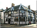

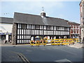
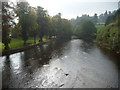
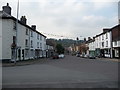
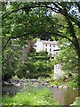

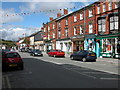
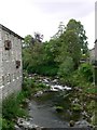
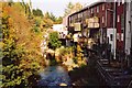

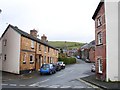
100 photos from this area
Area Information
Key information about the SY18 6LB including its size, population, and administrative classification.
- Area Type
- Postcode
- Area Size
- 2.3 hectares
- Population
- 1335
- Population Density
- 765 people/km²
House Prices in SY18 6LB
24
Properties
£194,000
Average Sold Price
£55,000
Lowest Price
£295,000
Highest Price
Showing 24 properties
| Address | Type | Beds | Baths | Last Sale Price | Last Sale Date | |
|---|---|---|---|---|---|---|
| Yr Alban Fach, 33 Rhos Y Maen Isaf, Llanidloes, SY18 6LB | Semi-detached | 3 | 2 | £235,000 | Feb 2022 | |
| Cefn Haul, 21 Rhos Y Maen Isaf, Llanidloes, SY18 6LB | house | - | - | £295,000 | Jan 2021 | |
| Richmoor, 34 Rhos Y Maen Isaf, Llanidloes, SY18 6LB | house | - | - | £215,000 | Dec 2020 | |
| 26 Rhos Y Maen Isaf, Llanidloes, SY18 6LB | Semi-detached | 3 | 1 | £180,000 | Jan 2020 | |
| Gwynfryn, 19 Rhos Y Maen Isaf, Llanidloes, SY18 6LB | house | - | - | £280,000 | Aug 2018 | |
| 27 Rhos Y Maen Isaf, Llanidloes, SY18 6LB | house | - | - | £194,000 | Oct 2016 | |
| Tegfryn, 25 Rhos Y Maen Isaf, Llanidloes, SY18 6LB | house | - | - | £290,000 | Oct 2016 | |
| Adelyn, 17 Rhos Y Maen Isaf, Llanidloes, SY18 6LB | house | 4 | 1 | £220,000 | Jul 2016 | |
| Dan-y-coed, 12 Rhos Y Maen Isaf, Llanidloes, SY18 6LB | house | - | - | £150,000 | Sep 2015 | |
| 31 Rhos Y Maen Isaf, Llanidloes, SY18 6LB | house | - | - | £182,500 | Feb 2013 |
Page 1 of 3
Energy Efficiency in SY18 6LB
Amenities
Schools
| Rank | School | Type | Entry gender | Ages |
|---|
Explore more schools in this area
Go to Schools tabDemographics
Household Size
One person
most common
Accommodation Type
Houses
most common
Tenure
60
majority
Ethnic Group
White
most common
Religion
N/A
most common
Household Composition
N/A
most common
Age
47
median
Adults (30-64 years)
most common
Household Deprivation
N/A
with no deprivation
NS-SEC
27
in Lower managerial occupations
Explore more demographic insights in this area
Go to Demographics tabPlanning
Planning Constraints
- Flood RiskPremium
- Ramsar Wetland SitesPremium
- Area of Outstanding Natural BeautyPremium
- Protected Nature ReservePremium
- Protected WoodlandPremium
- Crime RiskPremium