Area Overview for SY15 6PS
Photos of SY15 6PS
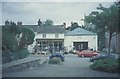
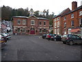
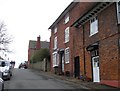
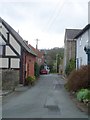
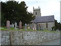
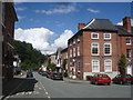

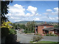
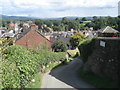
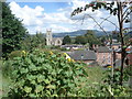

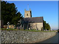
100 photos from this area
Area Information
Key information about the SY15 6PS including its size, population, and administrative classification.
- Area Type
- Postcode
- Area Size
- 2.0 hectares
- Population
- 1285
- Population Density
- 95 people/km²
House Prices in SY15 6PS
32
Properties
£133,050
Average Sold Price
£45,000
Lowest Price
£185,000
Highest Price
Showing 32 properties
| Address | Type | Beds | Baths | Last Sale Price | Last Sale Date | |
|---|---|---|---|---|---|---|
| 43 Tan Y Mur, Montgomery, SY15 6PS | house | 2 | 1 | £185,000 | Sep 2024 | |
| 35 Tan Y Mur, Montgomery, SY15 6PS | Semi-detached | 2 | 1 | £165,000 | Feb 2023 | |
| 45 Tan Y Mur, Montgomery, SY15 6PS | Terraced | 3 | - | £151,000 | Oct 2021 | |
| 34 Tan Y Mur, Montgomery, SY15 6PS | house | - | - | £155,000 | Jun 2019 | |
| 51 Tan Y Mur, Montgomery, SY15 6PS | house | - | - | £145,000 | Jun 2018 | |
| 24 Tan Y Mur, Montgomery, SY15 6PS | house | - | - | £126,500 | Jan 2018 | |
| 33 Tan Y Mur, Montgomery, SY15 6PS | Semi-detached | - | - | £120,000 | Sep 2006 | |
| 46 Tan Y Mur, Montgomery, SY15 6PS | Terraced | 3 | 2 | £130,000 | Sep 2006 | |
| 48 Tan Y Mur, Montgomery, SY15 6PS | house | - | - | £108,000 | Apr 2006 | |
| 39 Tan Y Mur, Montgomery, SY15 6PS | house | - | - | £45,000 | Jan 2000 |
Page 1 of 4
Energy Efficiency in SY15 6PS
Amenities
Schools
| Rank | School | Type | Entry gender | Ages |
|---|
Explore more schools in this area
Go to Schools tabDemographics
Household Size
Two person
most common
Accommodation Type
Houses
most common
Tenure
65
majority
Ethnic Group
White
most common
Religion
N/A
most common
Household Composition
N/A
most common
Age
47
median
Adults (30-64 years)
most common
Household Deprivation
N/A
with no deprivation
NS-SEC
35
in Lower managerial occupations
Explore more demographic insights in this area
Go to Demographics tabPlanning
Planning Constraints
- Flood RiskPremium
- Ramsar Wetland SitesPremium
- Area of Outstanding Natural BeautyPremium
- Protected Nature ReservePremium
- Protected WoodlandPremium
- Crime RiskPremium