Area Overview for SA9 1TA
Photos of SA9 1TA
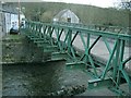
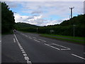
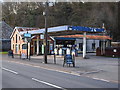
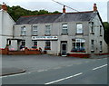
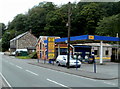
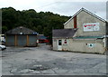
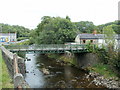
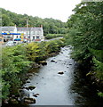
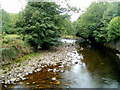
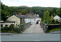
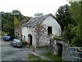
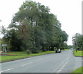
22 photos from this area
Area Information
Key information about the SA9 1TA including its size, population, and administrative classification.
- Area Type
- Postcode
- Area Size
- 1514 m²
- Population
- 1421
- Population Density
- 148 people/km²
House Prices in SA9 1TA
4
Properties
£103,333
Average Sold Price
£86,000
Lowest Price
£130,000
Highest Price
Showing 4 properties
| Address | Type | Beds | Baths | Last Sale Price | Last Sale Date | |
|---|---|---|---|---|---|---|
| 1, Tanygraig Cottages, U 0405 From Junction With A 4067 To Junction With U 0406 At Castle Bridge, Caerlan, Abercrave, SA9 1TA | house | 3 | 1 | £130,000 | Jan 2025 | |
| 2, Tanygraig Cottages, U 0405 From Junction With A 4067 To Junction With U 0406 At Castle Bridge, Caerlan, Abercrave, SA9 1TA | Semi-detached | 3 | 1 | £86,000 | Dec 2018 | |
| 4, Tanygraig Cottages, U 0405 From Junction With A 4067 To Junction With U 0406 At Castle Bridge, Caerlan, Abercrave, SA9 1TA | Semi-detached | 2 | 1 | £94,000 | Mar 2006 | |
| 3, Tanygraig Cottages, U 0405 From Junction With A 4067 To Junction With U 0406 At Castle Bridge, Caerlan, Abercrave, SA9 1TA | Semi-detached | - | - | - | - |
Energy Efficiency in SA9 1TA
Amenities
Schools
| Rank | School | Type | Entry gender | Ages |
|---|
Explore more schools in this area
Go to Schools tabDemographics
Household Size
Two person
most common
Accommodation Type
Houses
most common
Tenure
77
majority
Ethnic Group
White
most common
Religion
N/A
most common
Household Composition
N/A
most common
Age
47
median
Adults (30-64 years)
most common
Household Deprivation
N/A
with no deprivation
NS-SEC
31
in Lower managerial occupations
Explore more demographic insights in this area
Go to Demographics tabPlanning
Planning Constraints
- Flood RiskPremium
- Ramsar Wetland SitesPremium
- Area of Outstanding Natural BeautyPremium
- Protected Nature ReservePremium
- Protected WoodlandPremium
- Crime RiskPremium