Area Overview for SA9 1PL
Photos of SA9 1PL
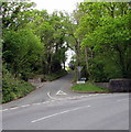
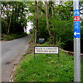
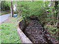
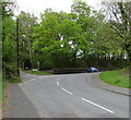
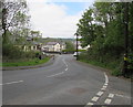
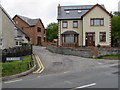
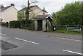
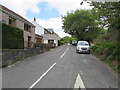
47 photos from this area
Area Information
Key information about the SA9 1PL including its size, population, and administrative classification.
- Area Type
- Postcode
- Area Size
- 8.2 hectares
- Population
- 2064
- Population Density
- 543 people/km²
House Prices in SA9 1PL
25
Properties
£134,817
Average Sold Price
£33,500
Lowest Price
£305,000
Highest Price
Showing 25 properties
| Address | Type | Beds | Baths | Last Sale Price | Last Sale Date | |
|---|---|---|---|---|---|---|
| 118 Station Road, Ystradgynlais, SA9 1PL | house | - | - | £110,000 | May 2025 | |
| 123 Station Road, Ystradgynlais, SA9 1PL | Semi-detached | 3 | 1 | £305,000 | Jan 2025 | |
| 115 Station Road, Ystradgynlais, SA9 1PL | Bungalow | - | - | £205,000 | Feb 2024 | |
| 131 Station Road, Ystradgynlais, SA9 1PL | house | - | - | £270,000 | Feb 2024 | |
| 125 Station Road, Ystradgynlais, SA9 1PL | Semi-detached | 3 | 1 | £278,000 | Nov 2023 | |
| 126 Station Road, Ystradgynlais, SA9 1PL | Semi-detached | 3 | 1 | £99,950 | Aug 2023 | |
| 121 Station Road, Ystradgynlais, SA9 1PL | Detached | 4 | 1 | £255,000 | Jan 2019 | |
| 129 Station Road, Ystradgynlais, SA9 1PL | Semi-detached | 3 | 1 | £120,000 | Dec 2017 | |
| 116 Station Road, Ystradgynlais, SA9 1PL | house | - | - | £135,000 | Jan 2016 | |
| 100 Station Road, Ystradgynlais, SA9 1PL | Semi-detached | 3 | - | £105,000 | Jun 2015 |
Page 1 of 3
Energy Efficiency in SA9 1PL
Amenities
Schools
| Rank | School | Type | Entry gender | Ages |
|---|
Explore more schools in this area
Go to Schools tabDemographics
Household Size
Two person
most common
Accommodation Type
Houses
most common
Tenure
75
majority
Ethnic Group
White
most common
Religion
N/A
most common
Household Composition
N/A
most common
Age
47
median
Adults (30-64 years)
most common
Household Deprivation
N/A
with no deprivation
NS-SEC
32
in Lower managerial occupations
Explore more demographic insights in this area
Go to Demographics tabPlanning
Planning Constraints
- Flood RiskPremium
- Ramsar Wetland SitesPremium
- Area of Outstanding Natural BeautyPremium
- Protected Nature ReservePremium
- Protected WoodlandPremium
- Crime RiskPremium