Area Overview for NP8 1HY
Photos of NP8 1HY
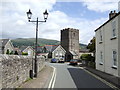
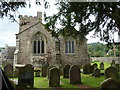
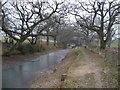
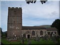
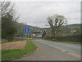


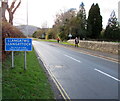

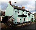
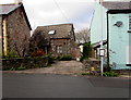
100 photos from this area
Area Information
Key information about the NP8 1HY including its size, population, and administrative classification.
- Area Type
- Postcode
- Area Size
- 1.3 hectares
- Population
- 1650
- Population Density
- 33 people/km²
House Prices in NP8 1HY
23
Properties
£172,158
Average Sold Price
£50,000
Lowest Price
£320,000
Highest Price
Showing 23 properties
| Address | Type | Beds | Baths | Last Sale Price | Last Sale Date | |
|---|---|---|---|---|---|---|
| 8 Plasderwern, Llangattock, Crickhowell, NP8 1HY | Semi-detached | 3 | - | £320,000 | Aug 2023 | |
| 21 Plasderwern, Llangattock, Crickhowell, NP8 1HY | house | - | - | £215,000 | Jul 2019 | |
| 6 Plasderwern, Llangattock, Crickhowell, NP8 1HY | Semi-detached | - | - | £178,000 | Jan 2015 | |
| 1 Plasderwern, Llangattock, Crickhowell, NP8 1HY | house | - | - | £160,000 | Sep 2013 | |
| 7 Plasderwern, Llangattock, Crickhowell, NP8 1HY | Semi-detached | - | - | £109,950 | Jul 2002 | |
| 16 Plasderwern, Llangattock, Crickhowell, NP8 1HY | Semi-detached | 3 | 1 | £50,000 | Mar 1995 | |
| 10 Plasderwern, Llangattock, Crickhowell, NP8 1HY | Semi-detached | 3 | 1 | - | - | |
| Ty-gwyn, The Olde Plough, Hillside Road, Llangattock, Crickhowell, NP8 1HY | Detached | - | - | - | - | |
| 4 Plasderwern, Llangattock, Crickhowell, NP8 1HY | house | - | - | - | - | |
| 17 Plasderwern, Llangattock, Crickhowell, NP8 1HY | Semi-detached | - | - | - | - |
Page 1 of 3
Energy Efficiency in NP8 1HY
Amenities
Schools
| Rank | School | Type | Entry gender | Ages |
|---|
Explore more schools in this area
Go to Schools tabDemographics
Household Size
Two person
most common
Accommodation Type
Houses
most common
Tenure
78
majority
Ethnic Group
White
most common
Religion
N/A
most common
Household Composition
N/A
most common
Age
47
median
Adults (30-64 years)
most common
Household Deprivation
N/A
with no deprivation
NS-SEC
44
in Lower managerial occupations
Explore more demographic insights in this area
Go to Demographics tabPlanning
Planning Constraints
- Flood RiskPremium
- Ramsar Wetland SitesPremium
- Area of Outstanding Natural BeautyPremium
- Protected Nature ReservePremium
- Protected WoodlandPremium
- Crime RiskPremium