Area Overview for Newtown and Llanllwchaiarn Community
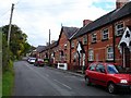
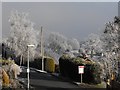
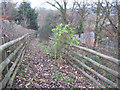
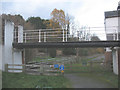
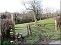
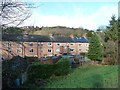
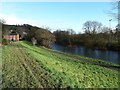
Photos of Newtown and Llanllwchaiarn Community

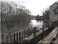
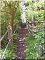
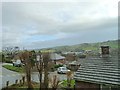
Area Information
Newtown and Llanllwchaiarn Community functions as a civil parish covering an area size of 26.8 km². You will find a population of 1453 residents spread across this landscape, resulting in a population density of 54 people per km². This figure places the parish in a context of moderate spread, where homes are separated by open space rather than dense urban blocks. Living in Newtown and Llanllwchaiarn Community means navigating a distinct environment defined by its rural characteristics and specific geographic boundaries. The community sits within Wales, offering a settlement pattern that prioritises local neighbourhood interaction over the intensity of city life. Your daily routine here will be shaped by these spatial realities, where distances to services may vary more than in compact urban zones. The identity of this parish relies on its historical roots and its current demographic composition, which skews significantly older than the national average. You are entering a community where the built environment and natural surroundings play an equal role in determining your quality of life. The modest population supports a quiet pace, but you must assess whether the available infrastructure meets your specific needs for shopping, healthcare, or leisure. Understanding the scale of 26.8 km² helps you visualise how far you might need to travel to access broader regional amenities.
- Area Type
- Parish
- Area Size
- 26.8 km²
- Population
- 1453
- Population Density
- 54 people/km²
Demographics
The community profile in Newtown and Llanllwchaiarn Community is defined by a median age of 70. This statistic indicates that the majority of households are occupied by older individuals or couples. The most common age range data confirms this trend, showing a population structure heavily weighted towards the elderly. For a prospective buyer, this demographic reality suggests a neighbourhood accustomed to slower rhythms and specific social habits. You should anticipate an environment where intergenerational mixing might be less frequent than in urban districts. Home ownership stands at 54% within the parish. This majority ownership rate suggests a long-standing community where residents have invested in their local properties for extended periods. The remaining 46% comprises tenants, indicating a mixed tenure landscape that still retains a strong anchor of owner-occupiers. Household composition data labels the total as the prevailing structure, reflecting the influence of the age profile on family units. Accommodation type is recorded as total, displaying the breadth of housing stock available without a single dominant form. Ethnic diversity is listed as total, meaning the population reflects a broad mix rather than a single group. When you consider living in Newtown and Llanllwchaiarn Community, these figures signal a stable, established community where property values likely hold steady, though the age profile limits rapid population growth.
Household Size
Accommodation Type
Tenure
Ethnic Group
Religion
Household Composition
Age
Household Deprivation
NS-SEC
Explore more demographic insights in this area
Go to Demographics tabPlanning
Planning Constraints
- Flood RiskPremium
- Ramsar Wetland SitesPremium
- Area of Outstanding Natural BeautyPremium
- Protected WoodlandPremium
- Crime RiskPremium