Area Overview for LD7 1HN
Photos of LD7 1HN
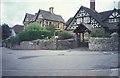
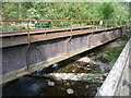
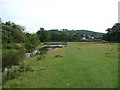
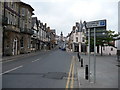
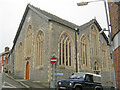
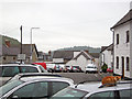
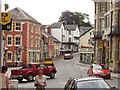
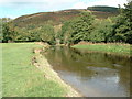
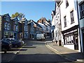
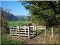
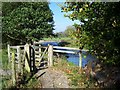
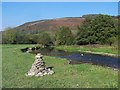
100 photos from this area
Area Information
Key information about the LD7 1HN including its size, population, and administrative classification.
- Area Type
- Postcode
- Area Size
- 3.5 hectares
- Population
- 1395
- Population Density
- 97 people/km²
House Prices in LD7 1HN
89
Properties
£88,038
Average Sold Price
£25,795
Lowest Price
£160,000
Highest Price
Showing 89 properties
| Address | Type | Beds | Baths | Last Sale Price | Last Sale Date | |
|---|---|---|---|---|---|---|
| 83 Radnor Drive, Knighton, LD7 1HN | Terraced | 3 | 1 | £110,000 | Dec 2025 | |
| 6 Radnor Drive, Knighton, LD7 1HN | Terraced | 3 | 1 | £143,000 | Oct 2024 | |
| 37 Radnor Drive, Knighton, LD7 1HN | Terraced | 3 | 1 | £123,500 | Feb 2024 | |
| 34 Radnor Drive, Knighton, LD7 1HN | house | - | - | £79,000 | Mar 2023 | |
| 43 Radnor Drive, Knighton, LD7 1HN | house | 4 | 1 | £90,000 | Jul 2022 | |
| 71 Radnor Drive, Knighton, LD7 1HN | house | - | - | £84,500 | May 2022 | |
| 5 Radnor Drive, Knighton, LD7 1HN | house | - | - | £160,000 | Mar 2022 | |
| 82 Radnor Drive, Knighton, LD7 1HN | house | - | - | £100,000 | Feb 2022 | |
| 46 Radnor Drive, Knighton, LD7 1HN | house | - | - | £117,000 | Jan 2022 | |
| 24 Radnor Drive, Knighton, LD7 1HN | house | - | - | £105,000 | Apr 2021 |
Page 1 of 9
Energy Efficiency in LD7 1HN
Amenities
Schools
| Rank | School | Type | Entry gender | Ages |
|---|
Explore more schools in this area
Go to Schools tabDemographics
Household Size
Two person
most common
Accommodation Type
Houses
most common
Tenure
70
majority
Ethnic Group
White
most common
Religion
N/A
most common
Household Composition
N/A
most common
Age
47
median
Adults (30-64 years)
most common
Household Deprivation
N/A
with no deprivation
NS-SEC
23
in Lower managerial occupations
Explore more demographic insights in this area
Go to Demographics tabPlanning
Planning Constraints
- Flood RiskPremium
- Ramsar Wetland SitesPremium
- Area of Outstanding Natural BeautyPremium
- Protected Nature ReservePremium
- Protected WoodlandPremium
- Crime RiskPremium