Area Overview for LD3 9EP
Photos of LD3 9EP
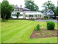
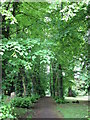
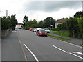
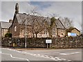
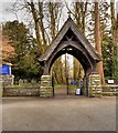
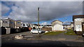
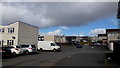
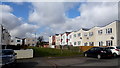
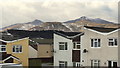
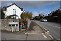
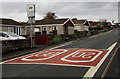
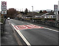
100 photos from this area
Area Information
Key information about the LD3 9EP including its size, population, and administrative classification.
- Area Type
- Postcode
- Area Size
- 6.3 hectares
- Population
- 1839
- Population Density
- 2254 people/km²
House Prices in LD3 9EP
63
Properties
£206,654
Average Sold Price
£67,500
Lowest Price
£350,000
Highest Price
Showing 63 properties
| Address | Type | Beds | Baths | Last Sale Price | Last Sale Date | |
|---|---|---|---|---|---|---|
| Clovelly, 24 Pendre Gardens, Brecon, LD3 9EP | Bungalow | 2 | 1 | £285,000 | Sep 2025 | |
| 15 Pendre Gardens, Brecon, LD3 9EP | Bungalow | 2 | 1 | £325,000 | May 2025 | |
| 61 Pendre Gardens, Brecon, LD3 9EP | Bungalow | 3 | 1 | £255,000 | Apr 2024 | |
| 9 Pendre Gardens, Brecon, LD3 9EP | Semi-detached | 3 | 2 | £350,000 | Aug 2023 | |
| 25 Pendre Gardens, Brecon, LD3 9EP | Bungalow | 2 | - | £270,000 | Jun 2023 | |
| 38 Pendre Gardens, Brecon, LD3 9EP | Semi-detached | 2 | 1 | £247,500 | May 2023 | |
| 37 Pendre Gardens, Brecon, LD3 9EP | Semi-detached | 2 | 1 | £235,000 | Mar 2022 | |
| Neuadd, 1 Pendre Gardens, Brecon, LD3 9EP | Bungalow | 3 | 1 | £248,000 | Oct 2021 | |
| 40 Pendre Gardens, Brecon, LD3 9EP | Bungalow | - | - | £205,000 | Dec 2019 | |
| 7 Pendre Gardens, Brecon, LD3 9EP | Semi-detached | 3 | 1 | £217,500 | May 2019 |
Page 1 of 7
Energy Efficiency in LD3 9EP
Amenities
Schools
| Rank | School | Type | Entry gender | Ages |
|---|
Explore more schools in this area
Go to Schools tabDemographics
Household Size
One person
most common
Accommodation Type
Houses
most common
Tenure
73
majority
Ethnic Group
White
most common
Religion
N/A
most common
Household Composition
N/A
most common
Age
47
median
Adults (30-64 years)
most common
Household Deprivation
N/A
with no deprivation
NS-SEC
35
in Lower managerial occupations
Explore more demographic insights in this area
Go to Demographics tabPlanning
Planning Constraints
- Flood RiskPremium
- Ramsar Wetland SitesPremium
- Area of Outstanding Natural BeautyPremium
- Protected Nature ReservePremium
- Protected WoodlandPremium
- Crime RiskPremium