Area Overview for LD3 7RP
Photos of LD3 7RP
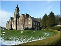
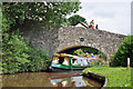
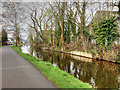
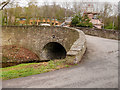
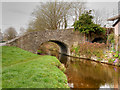
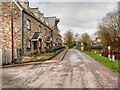
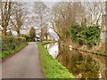
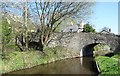

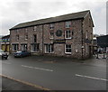
100 photos from this area
Area Information
Key information about the LD3 7RP including its size, population, and administrative classification.
- Area Type
- Postcode
- Area Size
- 3137 m²
- Population
- 1731
- Population Density
- 360 people/km²
House Prices in LD3 7RP
19
Properties
£106,750
Average Sold Price
£38,000
Lowest Price
£171,000
Highest Price
Showing 19 properties
| Address | Type | Beds | Baths | Last Sale Price | Last Sale Date | |
|---|---|---|---|---|---|---|
| 4 Camden Court, Brecon, LD3 7RP | Flat | - | - | £160,000 | Feb 2025 | |
| 12 Camden Court, Brecon, LD3 7RP | Flat | 2 | 1 | £102,500 | Aug 2021 | |
| Tower Flat, Camden Court, Brecon, LD3 7RP | Flat | - | - | £96,500 | Jan 2016 | |
| 10 Camden Court, Brecon, LD3 7RP | Flat | - | - | £110,000 | Dec 2013 | |
| Flat 2, East House, Camden Court, Brecon, LD3 7RP | Flat | - | - | £171,000 | Jul 2012 | |
| 6 Camden Court, Brecon, LD3 7RP | Flat | 3 | 1 | £157,000 | Jun 2008 | |
| 8 Camden Court, Brecon, LD3 7RP | Flat | 2 | 1 | £115,000 | Apr 2007 | |
| 9 Camden Court, Brecon, LD3 7RP | Flat | - | - | £38,000 | Jun 1999 | |
| 11 Camden Court, Brecon, LD3 7RP | Flat | - | - | £39,500 | Sep 1997 | |
| 3 Camden Court, Brecon, LD3 7RP | Flat | - | - | £78,000 | Sep 1997 |
Page 1 of 2
Energy Efficiency in LD3 7RP
Amenities
Schools
| Rank | School | Type | Entry gender | Ages |
|---|
Explore more schools in this area
Go to Schools tabDemographics
Household Size
Two person
most common
Accommodation Type
Houses
most common
Tenure
68
majority
Ethnic Group
White
most common
Religion
N/A
most common
Household Composition
N/A
most common
Age
47
median
Adults (30-64 years)
most common
Household Deprivation
N/A
with no deprivation
NS-SEC
44
in Lower managerial occupations
Explore more demographic insights in this area
Go to Demographics tabPlanning
Planning Constraints
- Flood RiskPremium
- Ramsar Wetland SitesPremium
- Area of Outstanding Natural BeautyPremium
- Protected Nature ReservePremium
- Protected WoodlandPremium
- Crime RiskPremium