Area Overview for HR3 5TN
Photos of HR3 5TN
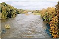
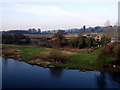
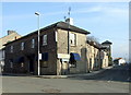
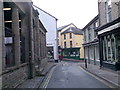

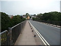
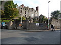
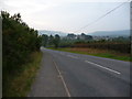
100 photos from this area
Area Information
Key information about the HR3 5TN including its size, population, and administrative classification.
- Area Type
- Postcode
- Area Size
- 8.3 hectares
- Population
- 1680
- Population Density
- 1122 people/km²
House Prices in HR3 5TN
36
Properties
£224,698
Average Sold Price
£133,000
Lowest Price
£360,000
Highest Price
Showing 36 properties
| Address | Type | Beds | Baths | Last Sale Price | Last Sale Date | |
|---|---|---|---|---|---|---|
| 76 Birch Close, Hay On Wye, Hereford, HR3 5TN | Detached | 4 | 2 | £360,000 | Oct 2024 | |
| 74 Birch Close, Hay On Wye, Hereford, HR3 5TN | house | - | - | £250,000 | Sep 2022 | |
| 73 Birch Close, Hay On Wye, Hereford, HR3 5TN | Retail | 2 | 1 | £206,000 | Mar 2022 | |
| 58 Birch Close, Hay On Wye, Hereford, HR3 5TN | house | 3 | 2 | £245,000 | Jun 2021 | |
| 69 Birch Close, Hay On Wye, Hereford, HR3 5TN | house | - | - | £189,950 | Jun 2021 | |
| 46 Birch Close, Hay On Wye, Hereford, HR3 5TN | house | - | - | £191,428 | May 2021 | |
| 77 Birch Close, Hay On Wye, Hereford, HR3 5TN | house | - | - | £310,000 | May 2021 | |
| 67 Birch Close, Hay On Wye, Hereford, HR3 5TN | house | - | - | £290,000 | Jan 2021 | |
| 45 Birch Close, Hay On Wye, Hereford, HR3 5TN | house | - | - | £133,000 | Feb 2020 | |
| 44 Birch Close, Hay On Wye, Hereford, HR3 5TN | house | - | - | £191,000 | Aug 2019 |
Page 1 of 4
Energy Efficiency in HR3 5TN
Amenities
Schools
| Rank | School | Type | Entry gender | Ages |
|---|
Explore more schools in this area
Go to Schools tabDemographics
Household Size
One person
most common
Accommodation Type
Houses
most common
Tenure
57
majority
Ethnic Group
White
most common
Religion
N/A
most common
Household Composition
N/A
most common
Age
47
median
Adults (30-64 years)
most common
Household Deprivation
N/A
with no deprivation
NS-SEC
31
in Lower managerial occupations
Explore more demographic insights in this area
Go to Demographics tabPlanning
Planning Constraints
- Flood RiskPremium
- Ramsar Wetland SitesPremium
- Area of Outstanding Natural BeautyPremium
- Protected Nature ReservePremium
- Protected WoodlandPremium
- Crime RiskPremium