Area Overview for Llangynidr Community
Photos of Llangynidr Community
Area Information
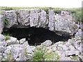
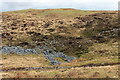
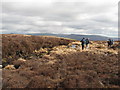
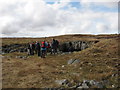
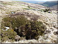
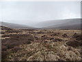
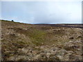
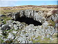
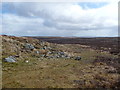
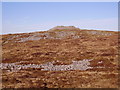
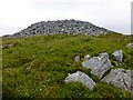
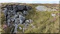
Living in Llangynidr Community means settling in a civil parish that spans approximately 50 km² in Powys, Wales. You are positioned about 6.4 km west of Crickhowell and 14.5 km south-east of Brecon, situated beside the B4558 on the southern side of the River Usk valley. The village is overlooked by the Brecon Beacons to the south, offering a setting that has remained largely intact since it was first mentioned as Llankgenedire in 1398. The medieval church of St Mary and St Cynidr stands in the centre, having been destroyed by fire in 1928 before being rebuilt, and stands as a testament to the area's long history. A stone bridge dating from approximately 1700 crosses the water nearby, while historic Chartist Cave lies southeast of the village. Daily life centres around two public houses, including the Red Lion, which may date back to an 18th-century longhouse. You will find a village shop and a primary school serving the immediate neighbourhood. The area holds significant historical importance; Chartist rebels stockpiled weapons in the cave in 1839, and the land once supported limestone and coal working alongside employment at nearby Clydach ironworks. Welsh was the principal language until the 20th century, reflecting deep local roots. Today, the community operates within a framework of historic estates, having been part of the manor of Tretower granted to Sir William Herbert in 1442. The location remains accessible via major routes while retaining the character of a traditional Welsh village.
- Area Type
- Parish
- Area Size
- 50.0 km²
- Population
- Not available
- Population Density
- Not available
Demographics
The community profile of Llangynidr is defined by a high median age of 70 years. This figure indicates that the population skews significantly towards older residents compared to younger demographics. The most common age category recorded is marked as Age: Total, suggesting a broad distribution where the elderly majority is the defining characteristic. You will find that 79% of residents own their homes, a figure that points to a very stable, settled population. This high ownership rate contrasts sharply with typical rental-heavy urban centres or areas attracting young families seeking to build ties. Household composition data is recorded as Total, showing the structural make-up of the homes without specifying single-person or multi-generational clusters. Similarly, accommodation type is listed as Total, reflecting the mixed nature of the stock within the 50 km² parish. The predominant ethnic group and religious affiliation data are both recorded as Total, indicating a generally homogenous community consistent with many rural Welsh parishes. These statistics paint a picture of a settlement that has not undergone rapid demographic shifts. The low proportion of young households suggests limited presence of children in the area. While specific deprivation indices are not listed in the provided metrics, the high home ownership among an older population implies a degree of financial security for the majority of households.
Household Size
Accommodation Type
Tenure
Ethnic Group
Religion
Household Composition
Age
Household Deprivation
NS-SEC
Explore more demographic insights in this area
Go to Demographics tabPlanning
Planning Constraints
- Flood RiskPremium
- Ramsar Wetland SitesPremium
- Area of Outstanding Natural BeautyPremium
- Protected Nature ReservePremium
- Protected WoodlandPremium
- Crime RiskPremium