Area Overview for Builth Community
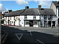
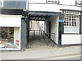
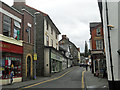
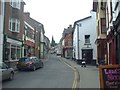
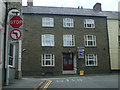
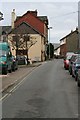
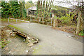
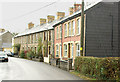
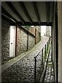
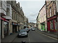
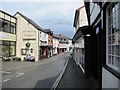
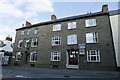
Photos of Builth Community
Area Information
Living in Builth Community offers a distinctly rural experience within the unitary electoral division of Wales. You will find a defined neighbourhood covering just 3.0 km², where space is abundant and daily life moves at a slower pace than in major cities. This компакt area creates an intimate setting where residents know their surroundings intimately. The location sits comfortably away from urban congestion while maintaining essential connections to the wider region. You can expect a quiet lifestyle suited to those who value privacy and green spaces close to their doorstep. The area's small footprint means you do not need to travel far for local amenities, though major services require a short journey into the next town. The community feels rooted in tradition, reflecting the broader character of rural Wales. When considering homes in Builth Community, you are looking at a location defined by its natural setting and established residential patterns. It is a place where neighbours check on each other and where the days are marked by local events rather than commuter traffic. This area suits established families or individuals seeking a stable environment without the noise of metropolitan living. The scale is manageable, allowing you to understand the local rhythm quickly upon arrival. Whether you prefer a garden full of wildflowers or a quiet street for morning walks, the geography of this 3 square kilometre space accommodates such preferences naturally.
- Area Type
- Parish
- Area Size
- 3.0 km²
- Population
- Not available
- Population Density
- Not available
Demographics
The people of Builth Community reflect a mature settlement with a distinct demographic profile. You will find that the median age stands at 70, indicating an older resident base compared to the national average. Most commonly, the population falls into the age range labelled as Age Total, which points to a settlement where retirement decades define household rhythms. Home ownership dominates the picture with 63% of residents owning their property outright or with a mortgage. This high rate suggests a community built by people who have stayed for decades rather than a market driven by transient tenants or buy-to-let investors. Accommodation types vary across the 3.0 km², reflecting a mix of older traditional homes alongside any newer adaptations. The household composition includes a wide range of arrangements, from single-person setups to multi-generational living. While specific figures for predominant ethnic groups and religious affiliation are part of the full census breakdown, the core identity remains defined by these long-standing residential patterns. For those considering schools near Builth Community, the age profile suggests a potential reliance on broader catchment areas for younger children, given the senior median age. Deprivation analysis within this unitary electoral division shows a standard distribution of resources, meaning quality of life remains consistent for most homeowners. You can expect a stable, self-reliant community where neighbours often support local needs directly rather than depending solely on external aid.
Household Size
Accommodation Type
Tenure
Ethnic Group
Religion
Household Composition
Age
Household Deprivation
NS-SEC
Explore more demographic insights in this area
Go to Demographics tabPlanning
Planning Constraints
- Flood RiskPremium
- Ramsar Wetland SitesPremium
- Area of Outstanding Natural BeautyPremium
- Protected Nature ReservePremium
- Protected WoodlandPremium
- Crime RiskPremium