Area Overview for SA73 2ED
Photos of SA73 2ED
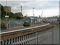
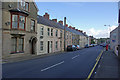
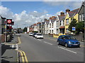
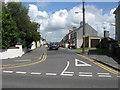
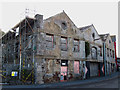
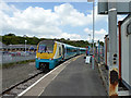
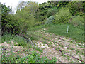
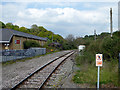
61 photos from this area
Area Information
Key information about the SA73 2ED including its size, population, and administrative classification.
- Area Type
- Postcode
- Area Size
- 4228 m²
- Population
- 2193
- Population Density
- 3003 people/km²
House Prices in SA73 2ED
18
Properties
£92,227
Average Sold Price
£37,500
Lowest Price
£161,000
Highest Price
Showing 18 properties
| Address | Type | Beds | Baths | Last Sale Price | Last Sale Date | |
|---|---|---|---|---|---|---|
| 88 Priory Road, Milford Haven, SA73 2ED | Terraced | 3 | 1 | £105,000 | Jul 2024 | |
| 116 Priory Road, Milford Haven, SA73 2ED | Semi-detached | 3 | 2 | £161,000 | May 2024 | |
| 94 Priory Road, Milford Haven, SA73 2ED | Terraced | 4 | 1 | £110,000 | Jun 2023 | |
| 118 Priory Road, Milford Haven, SA73 2ED | Terraced | 3 | 1 | £120,000 | Mar 2021 | |
| 96 Priory Road, Milford Haven, SA73 2ED | house | - | - | £130,000 | Feb 2021 | |
| 122 Priory Road, Milford Haven, SA73 2ED | Terraced | 3 | 1 | £127,500 | Sep 2020 | |
| 86 Priory Road, Milford Haven, SA73 2ED | house | - | - | £69,000 | Jan 2013 | |
| 84 Priory Road, Milford Haven, SA73 2ED | house | - | - | £51,000 | Dec 2002 | |
| 124 Priory Road, Milford Haven, SA73 2ED | Terraced | - | - | £65,000 | Aug 2002 | |
| Acacia, 82 Priory Road, Milford Haven, SA73 2ED | Terraced | - | - | £37,500 | May 1998 |
Page 1 of 2
Energy Efficiency in SA73 2ED
Amenities
Schools
| Rank | School | Type | Entry gender | Ages |
|---|
Explore more schools in this area
Go to Schools tabDemographics
Household Size
One person
most common
Accommodation Type
Houses
most common
Tenure
49
majority
Ethnic Group
White
most common
Religion
N/A
most common
Household Composition
N/A
most common
Age
47
median
Adults (30-64 years)
most common
Household Deprivation
N/A
with no deprivation
NS-SEC
17
in Lower managerial occupations
Explore more demographic insights in this area
Go to Demographics tabPlanning
Planning Constraints
- Flood RiskPremium
- Ramsar Wetland SitesPremium
- Area of Outstanding Natural BeautyPremium
- Protected Nature ReservePremium
- Protected WoodlandPremium
- Crime RiskPremium