Area Overview for SA71 5ER
Photos of SA71 5ER
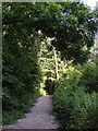
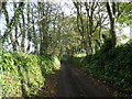
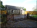
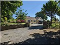
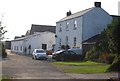
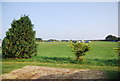
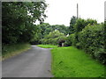
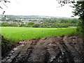
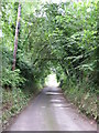
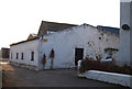
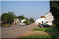
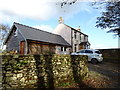
13 photos from this area
Area Information
Key information about the SA71 5ER including its size, population, and administrative classification.
- Area Type
- Postcode
- Area Size
- 36.0 hectares
- Population
- 1688
- Population Density
- 1227 people/km²
House Prices in SA71 5ER
7
Properties
£253,290
Average Sold Price
£145,000
Lowest Price
£415,000
Highest Price
Showing 7 properties
| Address | Type | Beds | Baths | Last Sale Price | Last Sale Date | |
|---|---|---|---|---|---|---|
| Oaklands, C 3033 Watery Lane To Norgans Hill, Taylors Lake, Pembroke, SA71 5ER | Bungalow | 4 | 2 | £415,000 | Sep 2024 | |
| Puddings End Farm, 32.65 Row Watery Lane, Taylors Lake, Pembroke, SA71 5ER | Land | 3 | 1 | £275,000 | Oct 2016 | |
| Hillcrest, 32.65 Row Watery Lane, Taylors Lake, Pembroke, SA71 5ER | Detached | - | - | £250,000 | Jul 2014 | |
| Whetstone House, C 3033 Watery Lane To Norgans Hill, Taylors Lake, Pembroke, SA71 5ER | house | - | - | £181,450 | Apr 2007 | |
| Sunnyside, 32.65 Row Watery Lane, Taylors Lake, Pembroke, SA71 5ER | Detached | - | - | £145,000 | Jul 2004 | |
| Ash Leys, C 3033 Watery Lane To Norgans Hill, Taylors Lake, Pembroke, SA71 5ER | Detached | - | - | - | - | |
| The Annexe, Ash Leys, C 3033 Watery Lane To Norgans Hill, Taylors Lake, Pembroke, SA71 5ER | Detached | - | - | - | - |
Energy Efficiency in SA71 5ER
Amenities
Schools
| Rank | School | Type | Entry gender | Ages |
|---|
Explore more schools in this area
Go to Schools tabDemographics
Household Size
Family (3-5 people)
most common
Accommodation Type
Houses
most common
Tenure
39
majority
Ethnic Group
White
most common
Religion
N/A
most common
Household Composition
N/A
most common
Age
47
median
Adults (30-64 years)
most common
Household Deprivation
N/A
with no deprivation
NS-SEC
12
in Lower managerial occupations
Explore more demographic insights in this area
Go to Demographics tabPlanning
Planning Constraints
- Flood RiskPremium
- Ramsar Wetland SitesPremium
- Area of Outstanding Natural BeautyPremium
- Protected Nature ReservePremium
- Protected WoodlandPremium
- Crime RiskPremium