Area Overview for SA67 8HF
Photos of SA67 8HF
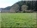
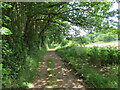
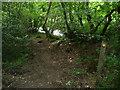
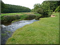
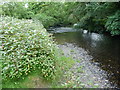
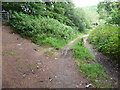
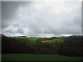
10 photos from this area
Area Information
Key information about the SA67 8HF including its size, population, and administrative classification.
- Area Type
- Postcode
- Area Size
- 1.2 km²
- Population
- 1354
- Population Density
- 16 people/km²
House Prices in SA67 8HF
19
Properties
£293,750
Average Sold Price
£140,000
Lowest Price
£475,000
Highest Price
Showing 19 properties
| Address | Type | Beds | Baths | Last Sale Price | Last Sale Date | |
|---|---|---|---|---|---|---|
| Waunlippa, U 6100 Tal Y Bont Hill To Bethesda, Bethesda, Narberth, SA67 8HF | house | - | - | £475,000 | Mar 2021 | |
| Brynawen, U 6100 Tal Y Bont Hill To Bethesda, Bethesda, Narberth, SA67 8HF | Detached | 5 | 3 | £375,000 | Jul 2018 | |
| Swallows Rest, B 4313 Bethesda To Pen Y Groes, Bethesda, Narberth, SA67 8HF | Detached | - | - | £140,000 | May 2016 | |
| Beechwood Court, U 6100 Tal Y Bont Hill To Bethesda, Bethesda, Narberth, SA67 8HF | Detached | - | - | £185,000 | Jul 2007 | |
| Ty Ni, U 6100 Tal Y Bont Hill To Bethesda, Bethesda, Narberth, SA67 8HF | Bungalow | 3 | 1 | - | - | |
| Four Acres Barn, Tyr Ywen, U 6100 Tal Y Bont Hill To Bethesda, Bethesda, Narberth, SA67 8HF | Detached | - | - | - | - | |
| Bungalow Farm, U 6100 Tal Y Bont Hill To Bethesda, Bethesda, Narberth, SA67 8HF | Bungalow | - | - | - | - | |
| Dolwerdd, U 6100 Tal Y Bont Hill To Bethesda, Bethesda, Narberth, SA67 8HF | Detached | - | - | - | - | |
| Tir Nan Og, U 6100 Tal Y Bont Hill To Bethesda, Bethesda, Narberth, SA67 8HF | Detached | - | - | - | - | |
| The Park, U 6100 Tal Y Bont Hill To Bethesda, Bethesda, Narberth, SA67 8HF | Detached | - | - | - | - |
Page 1 of 2
Energy Efficiency in SA67 8HF
Amenities
Schools
| Rank | School | Type | Entry gender | Ages |
|---|
Explore more schools in this area
Go to Schools tabDemographics
Household Size
Two person
most common
Accommodation Type
Houses
most common
Tenure
74
majority
Ethnic Group
White
most common
Religion
N/A
most common
Household Composition
N/A
most common
Age
47
median
Adults (30-64 years)
most common
Household Deprivation
N/A
with no deprivation
NS-SEC
31
in Lower managerial occupations
Explore more demographic insights in this area
Go to Demographics tabPlanning
Planning Constraints
- Flood RiskPremium
- Ramsar Wetland SitesPremium
- Area of Outstanding Natural BeautyPremium
- Protected Nature ReservePremium
- Protected WoodlandPremium
- Crime RiskPremium