Area Overview for SA67 7DE
Photos of SA67 7DE
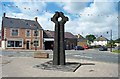
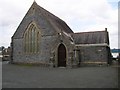
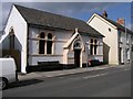
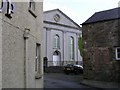
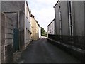
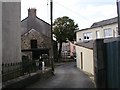
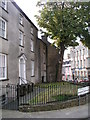
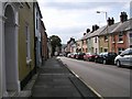

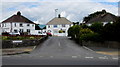
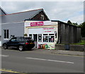
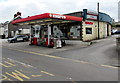
93 photos from this area
Area Information
Key information about the SA67 7DE including its size, population, and administrative classification.
- Area Type
- Postcode
- Area Size
- 9903 m²
- Population
- 2367
- Population Density
- 2683 people/km²
House Prices in SA67 7DE
9
Properties
£209,333
Average Sold Price
£68,000
Lowest Price
£335,000
Highest Price
Showing 9 properties
| Address | Type | Beds | Baths | Last Sale Price | Last Sale Date | |
|---|---|---|---|---|---|---|
| Connaught Cottage, Tabernacle Lane, Narberth, SA67 7DE | Bungalow | 3 | 1 | £335,000 | May 2025 | |
| Chapel Farm, Tabernacle Lane, Narberth, SA67 7DE | Detached | - | - | £68,000 | Aug 2019 | |
| Ashbourne, Tabernacle Lane, Narberth, SA67 7DE | Detached | - | - | £225,000 | Apr 2005 | |
| Brookfield, Tabernacle Lane, Narberth, SA67 7DE | Land | - | - | - | - | |
| 1, Old School House, Tabernacle Lane, Narberth, SA67 7DE | Semi-detached | 3 | 2 | - | - | |
| Ty Bryn, Brynteg, Tabernacle Lane, Narberth, SA67 7DE | Terraced | - | - | - | - | |
| Flat 2, Old School House, Tabernacle Lane, Narberth, SA67 7DE | house | - | - | - | - | |
| Rainbow End, Tabernacle Lane, Narberth, SA67 7DE | house | - | - | - | - | |
| Brynteg, Tabernacle Lane, Narberth, SA67 7DE | Detached | - | - | - | - |
Energy Efficiency in SA67 7DE
Amenities
Schools
| Rank | School | Type | Entry gender | Ages |
|---|
Explore more schools in this area
Go to Schools tabDemographics
Household Size
One person
most common
Accommodation Type
Houses
most common
Tenure
60
majority
Ethnic Group
White
most common
Religion
N/A
most common
Household Composition
N/A
most common
Age
47
median
Adults (30-64 years)
most common
Household Deprivation
N/A
with no deprivation
NS-SEC
31
in Lower managerial occupations
Explore more demographic insights in this area
Go to Demographics tabPlanning
Planning Constraints
- Flood RiskPremium
- Ramsar Wetland SitesPremium
- Area of Outstanding Natural BeautyPremium
- Protected Nature ReservePremium
- Protected WoodlandPremium
- Crime RiskPremium