Area Overview for SA64 0DU
Photos of SA64 0DU
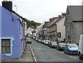
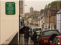
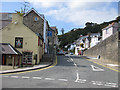
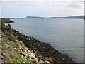
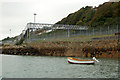
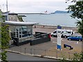
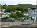
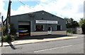
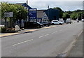
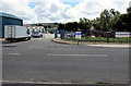
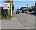
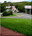
100 photos from this area
Area Information
Key information about the SA64 0DU including its size, population, and administrative classification.
- Area Type
- Postcode
- Area Size
- 16.8 hectares
- Population
- 2020
- Population Density
- 553 people/km²
House Prices in SA64 0DU
17
Properties
£200,357
Average Sold Price
£50,000
Lowest Price
£357,500
Highest Price
Showing 17 properties
| Address | Type | Beds | Baths | Last Sale Price | Last Sale Date | |
|---|---|---|---|---|---|---|
| Tenby House, New Hill, Goodwick, SA64 0DU | Semi-detached | 4 | 1 | £280,000 | Nov 2021 | |
| Sunnyside, New Hill, Goodwick, SA64 0DU | house | - | - | £185,000 | Mar 2021 | |
| Heatherland, New Hill, Goodwick, SA64 0DU | Detached | 3 | 2 | £100,000 | Apr 2020 | |
| The Brambles, New Hill, Goodwick, SA64 0DU | Detached | 3 | 2 | £270,000 | Dec 2019 | |
| Villa Calabria, New Hill, Goodwick, SA64 0DU | Detached | 4 | 2 | £357,500 | Jan 2019 | |
| Mornant, New Hill, Goodwick, SA64 0DU | Detached | 5 | 3 | £50,000 | Feb 2006 | |
| Heather Kop, New Hill, Goodwick, SA64 0DU | Detached | - | - | £160,000 | Mar 1999 | |
| Piccola Calabria, New Hill, Goodwick, SA64 0DU | Semi-detached | 5 | 4 | - | - | |
| Caravan, Mornant, New Hill, Goodwick, SA64 0DU | Mobile Home | - | - | - | - | |
| Caravan, Sibrwd-y-mor, New Hill, Goodwick, SA64 0DU | Mobile Home | - | - | - | - |
Page 1 of 2
Energy Efficiency in SA64 0DU
Amenities
Schools
| Rank | School | Type | Entry gender | Ages |
|---|
Explore more schools in this area
Go to Schools tabDemographics
Household Size
Two person
most common
Accommodation Type
Houses
most common
Tenure
67
majority
Ethnic Group
White
most common
Religion
N/A
most common
Household Composition
N/A
most common
Age
47
median
Adults (30-64 years)
most common
Household Deprivation
N/A
with no deprivation
NS-SEC
26
in Lower managerial occupations
Explore more demographic insights in this area
Go to Demographics tabPlanning
Planning Constraints
- Flood RiskPremium
- Ramsar Wetland SitesPremium
- Area of Outstanding Natural BeautyPremium
- Protected Nature ReservePremium
- Protected WoodlandPremium
- Crime RiskPremium