Area Overview for SA62 6TN
Photos of SA62 6TN
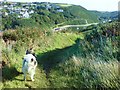
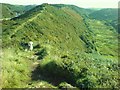
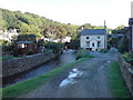
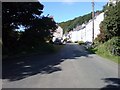
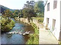
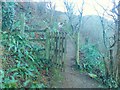
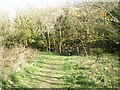
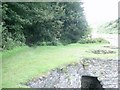
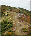
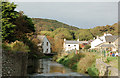
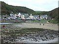
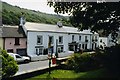
99 photos from this area
Area Information
Key information about the SA62 6TN including its size, population, and administrative classification.
- Area Type
- Postcode
- Area Size
- 7.8 hectares
- Population
- 1712
- Population Density
- 34 people/km²
House Prices in SA62 6TN
15
Properties
£214,125
Average Sold Price
£36,000
Lowest Price
£555,000
Highest Price
Showing 15 properties
| Address | Type | Beds | Baths | Last Sale Price | Last Sale Date | |
|---|---|---|---|---|---|---|
| Boathouse Cottage, 0 Panteg Road, Solva, Haverfordwest, SA62 6TN | Detached | 4 | 4 | £555,000 | Oct 2023 | |
| 17 Ffordd Panteg, Solva, SA62 6TN | Bungalow | 2 | 1 | £121,000 | Mar 2015 | |
| 11 Ffordd Panteg, Solva, SA62 6TN | Detached | 4 | 4 | £144,500 | Nov 2005 | |
| Maes Y Coed, 20 Ffordd Panteg, Solva, SA62 6TN | Semi-detached | - | - | £36,000 | Aug 2000 | |
| Panteg Farmhouse Cottage, 0 Panteg Road, Solva, Haverfordwest, SA62 6TN | Detached | 4 | 4 | - | - | |
| Parc Benny, Ffordd Panteg, Solva, SA62 6TN | Detached | - | - | - | - | |
| Nant Yr Ardd, Ffordd Panteg, Solva, SA62 6TN | house | - | - | - | - | |
| 13 Ffordd Panteg, Solva, SA62 6TN | Semi-detached | - | - | - | - | |
| Gorwel, 16 Ffordd Panteg, Solva, SA62 6TN | Detached | - | - | - | - | |
| Aelybryn, 3 Ffordd Panteg, Solva, SA62 6TN | house | - | - | - | - |
Page 1 of 2
Energy Efficiency in SA62 6TN
Amenities
Schools
| Rank | School | Type | Entry gender | Ages |
|---|
Explore more schools in this area
Go to Schools tabDemographics
Household Size
Two person
most common
Accommodation Type
Houses
most common
Tenure
68
majority
Ethnic Group
White
most common
Religion
N/A
most common
Household Composition
N/A
most common
Age
47
median
Adults (30-64 years)
most common
Household Deprivation
N/A
with no deprivation
NS-SEC
33
in Lower managerial occupations
Explore more demographic insights in this area
Go to Demographics tabPlanning
Planning Constraints
- Flood RiskPremium
- Ramsar Wetland SitesPremium
- Area of Outstanding Natural BeautyPremium
- Protected Nature ReservePremium
- Protected WoodlandPremium
- Crime RiskPremium