Area Overview for SA62 5HW
Photos of SA62 5HW
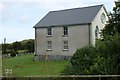
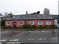
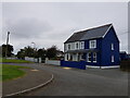
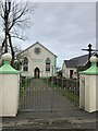
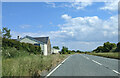
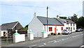
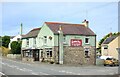

29 photos from this area
Area Information
Key information about the SA62 5HW including its size, population, and administrative classification.
- Area Type
- Postcode
- Area Size
- 1.2 hectares
- Population
- 1398
- Population Density
- 27 people/km²
House Prices in SA62 5HW
18
Properties
£208,100
Average Sold Price
£75,000
Lowest Price
£285,000
Highest Price
Showing 18 properties
| Address | Type | Beds | Baths | Last Sale Price | Last Sale Date | |
|---|---|---|---|---|---|---|
| Glan Yr Wylan, 3 Crofty Close, Croesgoch, Haverfordwest, SA62 5HW | Bungalow | - | - | £285,000 | Aug 2019 | |
| Bryn Crofty, 29 Crofty Close, Croesgoch, Haverfordwest, SA62 5HW | Bungalow | 2 | 1 | £162,500 | Jul 2019 | |
| Ceffyle Gwynion, Crofty Close, Croesgoch, Haverfordwest, SA62 5HW | Bungalow | 5 | 4 | £283,000 | Apr 2016 | |
| Glen Ellen, 16 Crofty Close, Croesgoch, Haverfordwest, SA62 5HW | Bungalow | 3 | 1 | £235,000 | Aug 2006 | |
| 10 Crofty Close, Croesgoch, Haverfordwest, SA62 5HW | Detached | - | - | £75,000 | Jul 2001 | |
| Swn Yr Efail, Crofty Close, Croesgoch, Haverfordwest, SA62 5HW | Detached | - | - | - | - | |
| 4 Crofty Close, Croesgoch, Haverfordwest, SA62 5HW | Detached | - | - | - | - | |
| Ty Ni, 5 Crofty Close, Croesgoch, Haverfordwest, SA62 5HW | house | - | - | - | - | |
| 15 Crofty Close, Croesgoch, Haverfordwest, SA62 5HW | Semi-detached | - | - | - | - | |
| 17 Crofty Close, Croesgoch, Haverfordwest, SA62 5HW | Bungalow | - | - | - | - |
Page 1 of 2
Energy Efficiency in SA62 5HW
Amenities
Schools
| Rank | School | Type | Entry gender | Ages |
|---|
Explore more schools in this area
Go to Schools tabDemographics
Household Size
Two person
most common
Accommodation Type
Houses
most common
Tenure
81
majority
Ethnic Group
White
most common
Religion
N/A
most common
Household Composition
N/A
most common
Age
47
median
Adults (30-64 years)
most common
Household Deprivation
N/A
with no deprivation
NS-SEC
30
in Lower managerial occupations
Explore more demographic insights in this area
Go to Demographics tabPlanning
Planning Constraints
- Flood RiskPremium
- Ramsar Wetland SitesPremium
- Area of Outstanding Natural BeautyPremium
- Protected Nature ReservePremium
- Protected WoodlandPremium
- Crime RiskPremium