Area Overview for SA62 4DJ
Photos of SA62 4DJ
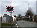
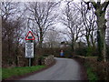
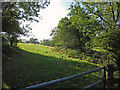
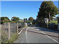
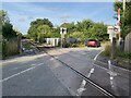
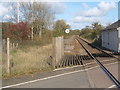
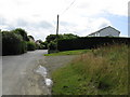

9 photos from this area
Area Information
Key information about the SA62 4DJ including its size, population, and administrative classification.
- Area Type
- Postcode
- Area Size
- 28.5 hectares
- Population
- 2108
- Population Density
- 60 people/km²
House Prices in SA62 4DJ
21
Properties
£235,571
Average Sold Price
£60,000
Lowest Price
£730,000
Highest Price
Showing 21 properties
| Address | Type | Beds | Baths | Last Sale Price | Last Sale Date | |
|---|---|---|---|---|---|---|
| 9 Dingle Lane, Crundale, Haverfordwest, SA62 4DJ | Detached | 3 | 2 | £180,000 | Aug 2024 | |
| Crundale House, Dingle Lane, Crundale, Haverfordwest, SA62 4DJ | Detached | 3 | 2 | £730,000 | Mar 2021 | |
| 2 Dingle Lane, Crundale, Haverfordwest, SA62 4DJ | Detached | 4 | 4 | £260,000 | Apr 2016 | |
| The Croft, 3 Dingle Lane, Crundale, Haverfordwest, SA62 4DJ | Detached | 4 | 3 | £170,000 | Jun 2012 | |
| 7 Dingle Lane, Crundale, Haverfordwest, SA62 4DJ | Terraced | 2 | 2 | £170,000 | Sep 2009 | |
| 13 Dingle Lane, Crundale, Haverfordwest, SA62 4DJ | house | - | - | £79,000 | Nov 1998 | |
| 1 Dingle Lane, Crundale, Haverfordwest, SA62 4DJ | Bungalow | - | - | £60,000 | Apr 1997 | |
| Gwyddfid, 12 Dingle Lane, Crundale, Haverfordwest, SA62 4DJ | Detached | 4 | 2 | - | - | |
| Rivendell, 11 Dingle Lane, Crundale, Haverfordwest, SA62 4DJ | Retail | 3 | 1 | - | - | |
| Blackthorns, 16 Dingle Lane, Crundale, Haverfordwest, SA62 4DJ | Detached | 4 | 2 | - | - |
Page 1 of 3
Energy Efficiency in SA62 4DJ
Amenities
Schools
| Rank | School | Type | Entry gender | Ages |
|---|
Explore more schools in this area
Go to Schools tabDemographics
Household Size
Two person
most common
Accommodation Type
Houses
most common
Tenure
82
majority
Ethnic Group
White
most common
Religion
N/A
most common
Household Composition
N/A
most common
Age
47
median
Adults (30-64 years)
most common
Household Deprivation
N/A
with no deprivation
NS-SEC
38
in Lower managerial occupations
Explore more demographic insights in this area
Go to Demographics tabPlanning
Planning Constraints
- Flood RiskPremium
- Ramsar Wetland SitesPremium
- Area of Outstanding Natural BeautyPremium
- Protected Nature ReservePremium
- Protected WoodlandPremium
- Crime RiskPremium