Area Overview for SA62 3TD
Photos of SA62 3TD
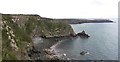
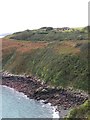
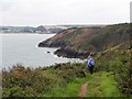
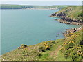
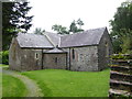
34 photos from this area
Area Information
Key information about the SA62 3TD including its size, population, and administrative classification.
- Area Type
- Postcode
- Area Size
- 33.1 hectares
- Population
- 1389
- Population Density
- 30 people/km²
House Prices in SA62 3TD
7
Properties
£211,813
Average Sold Price
£84,750
Lowest Price
£300,000
Highest Price
Showing 7 properties
| Address | Type | Beds | Baths | Last Sale Price | Last Sale Date | |
|---|---|---|---|---|---|---|
| Monkhill Cottage, U 6042 Goose Green St Ishmaels, St Ishmaels, Haverfordwest, SA62 3TD | house | - | - | £300,000 | Feb 2023 | |
| Furzy View, U 6042 Goose Green St Ishmaels, St Ishmaels, Haverfordwest, SA62 3TD | Bungalow | 3 | 1 | £242,500 | Jun 2021 | |
| Blue Haze, U 6042 Goose Green St Ishmaels, St Ishmaels, Haverfordwest, SA62 3TD | Bungalow | 3 | - | £220,000 | Dec 2016 | |
| Ogilvie House, U 6042 Goose Green St Ishmaels, St Ishmaels, Haverfordwest, SA62 3TD | Bungalow | - | - | £84,750 | Oct 1999 | |
| Fernleigh, U 6042 Goose Green St Ishmaels, St Ishmaels, Haverfordwest, SA62 3TD | house | 3 | 3 | - | - | |
| Cartref, U 6042 Goose Green St Ishmaels, St Ishmaels, Haverfordwest, SA62 3TD | Detached | - | - | - | - | |
| Lindsway House, U 6042 Goose Green St Ishmaels, St Ishmaels, Haverfordwest, SA62 3TD | Detached | - | - | - | - |
Energy Efficiency in SA62 3TD
Amenities
Schools
| Rank | School | Type | Entry gender | Ages |
|---|
Explore more schools in this area
Go to Schools tabDemographics
Household Size
Two person
most common
Accommodation Type
Houses
most common
Tenure
71
majority
Ethnic Group
White
most common
Religion
N/A
most common
Household Composition
N/A
most common
Age
47
median
Adults (30-64 years)
most common
Household Deprivation
N/A
with no deprivation
NS-SEC
32
in Lower managerial occupations
Explore more demographic insights in this area
Go to Demographics tabPlanning
Planning Constraints
- Flood RiskPremium
- Ramsar Wetland SitesPremium
- Area of Outstanding Natural BeautyPremium
- Protected Nature ReservePremium
- Crime RiskPremium