Area Overview for SA61 2UD
Photos of SA61 2UD
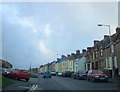
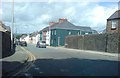
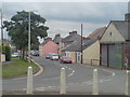
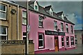
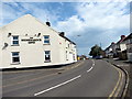
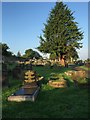
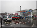
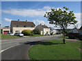
59 photos from this area
Area Information
Key information about the SA61 2UD including its size, population, and administrative classification.
- Area Type
- Postcode
- Area Size
- 4633 m²
- Population
- 1467
- Population Density
- 5173 people/km²
House Prices in SA61 2UD
14
Properties
£59,729
Average Sold Price
£27,950
Lowest Price
£131,750
Highest Price
Showing 14 properties
| Address | Type | Beds | Baths | Last Sale Price | Last Sale Date | |
|---|---|---|---|---|---|---|
| 14 Trafalgar Road, Haverfordwest, SA61 2UD | house | - | - | £115,000 | Jan 2023 | |
| 2 Trafalgar Road, Haverfordwest, SA61 2UD | house | - | - | £83,500 | Sep 2013 | |
| 6 Trafalgar Road, Haverfordwest, SA61 2UD | house | 3 | - | £81,000 | Oct 2011 | |
| 20 Trafalgar Road, Haverfordwest, SA61 2UD | Terraced | 3 | 1 | £127,000 | Oct 2007 | |
| 10 Trafalgar Road, Haverfordwest, SA61 2UD | Terraced | - | - | £131,750 | Aug 2007 | |
| 4 Trafalgar Road, Haverfordwest, SA61 2UD | Terraced | - | - | £65,000 | Apr 2004 | |
| 24 Trafalgar Road, Haverfordwest, SA61 2UD | Terraced | 3 | - | £28,250 | Jun 2000 | |
| 16 Trafalgar Road, Haverfordwest, SA61 2UD | Terraced | - | - | £29,450 | Jun 1998 | |
| 28 Trafalgar Road, Haverfordwest, SA61 2UD | house | - | - | £29,950 | Jun 1998 | |
| 26 Trafalgar Road, Haverfordwest, SA61 2UD | house | - | - | £29,000 | May 1998 |
Page 1 of 2
Energy Efficiency in SA61 2UD
Amenities
Schools
| Rank | School | Type | Entry gender | Ages |
|---|
Explore more schools in this area
Go to Schools tabDemographics
Household Size
One person
most common
Accommodation Type
Houses
most common
Tenure
24
majority
Ethnic Group
White
most common
Religion
N/A
most common
Household Composition
N/A
most common
Age
22
median
Adults (30-64 years)
most common
Household Deprivation
N/A
with no deprivation
NS-SEC
13
in Lower managerial occupations
Explore more demographic insights in this area
Go to Demographics tabPlanning
Planning Constraints
- Flood RiskPremium
- Ramsar Wetland SitesPremium
- Area of Outstanding Natural BeautyPremium
- Protected Nature ReservePremium
- Protected WoodlandPremium
- Crime RiskPremium