Area Overview for SA61 1PR
Photos of SA61 1PR
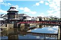
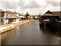
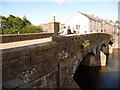
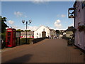
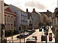
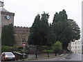
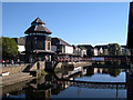
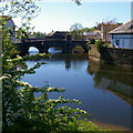
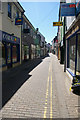
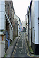
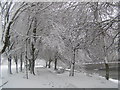
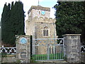
100 photos from this area
Area Information
Key information about the SA61 1PR including its size, population, and administrative classification.
- Area Type
- Postcode
- Area Size
- 5171 m²
- Population
- 1194
- Population Density
- 2614 people/km²
House Prices in SA61 1PR
12
Properties
£128,667
Average Sold Price
£60,000
Lowest Price
£250,000
Highest Price
Showing 12 properties
| Address | Type | Beds | Baths | Last Sale Price | Last Sale Date | |
|---|---|---|---|---|---|---|
| Ty Ar Y Bryn, 22 Hill Lane, Haverfordwest, SA61 1PR | Detached | 5 | 2 | £250,000 | Dec 2020 | |
| Hilary House, Hill Lane, Haverfordwest, SA61 1PR | house | - | - | £76,000 | Apr 2000 | |
| Hilltop, 29 Hill Lane, Haverfordwest, SA61 1PR | Terraced | - | - | £60,000 | Aug 1996 | |
| Room 1, Hilary House, Hill Lane, Haverfordwest, SA61 1PR | Flat | - | - | - | - | |
| Room 3, Hilary House, Hill Lane, Haverfordwest, SA61 1PR | Flat | - | - | - | - | |
| Room 2, Hilary House, Hill Lane, Haverfordwest, SA61 1PR | Flat | - | - | - | - | |
| 27 Hill Lane, Haverfordwest, SA61 1PR | Terraced | - | - | - | - | |
| Castle Reach, Hill Lane, Haverfordwest, SA61 1PR | Terraced | - | - | - | - | |
| Stabels, Hill Lane, Haverfordwest, SA61 1PR | Detached | - | - | - | - | |
| 24 Hill Lane, Haverfordwest, SA61 1PR | Terraced | - | - | - | - |
Page 1 of 2
Energy Efficiency in SA61 1PR
Amenities
Schools
| Rank | School | Type | Entry gender | Ages |
|---|
Explore more schools in this area
Go to Schools tabDemographics
Household Size
One person
most common
Accommodation Type
Houses
most common
Tenure
47
majority
Ethnic Group
White
most common
Religion
N/A
most common
Household Composition
N/A
most common
Age
47
median
Adults (30-64 years)
most common
Household Deprivation
N/A
with no deprivation
NS-SEC
26
in Lower managerial occupations
Explore more demographic insights in this area
Go to Demographics tabPlanning
Planning Constraints
- Flood RiskPremium
- Ramsar Wetland SitesPremium
- Area of Outstanding Natural BeautyPremium
- Protected Nature ReservePremium
- Protected WoodlandPremium
- Crime RiskPremium