Area Overview for SA37 0AB
Photos of SA37 0AB
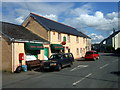
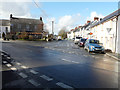
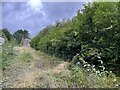
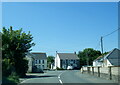
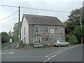
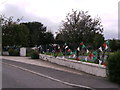
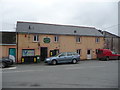
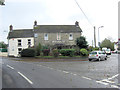
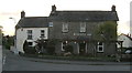
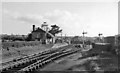
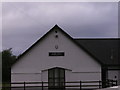
13 photos from this area
Area Information
Key information about the SA37 0AB including its size, population, and administrative classification.
- Area Type
- Postcode
- Area Size
- 3.2 hectares
- Population
- 1454
- Population Density
- 22 people/km²
House Prices in SA37 0AB
16
Properties
£340,000
Average Sold Price
£300,000
Lowest Price
£380,000
Highest Price
Showing 16 properties
| Address | Type | Beds | Baths | Last Sale Price | Last Sale Date | |
|---|---|---|---|---|---|---|
| Preseli, 6 Berllan Aur, Boncath, SA37 0AB | Detached | 4 | 2 | £380,000 | Feb 2024 | |
| Moylegrove, 2 Berllan Aur, Boncath, SA37 0AB | Retail | 3 | 2 | £300,000 | Sep 2021 | |
| Poppit, 3 Berllan Aur, Boncath, SA37 0AB | Detached | 4 | 2 | - | - | |
| 10 Berllan Aur, Boncath, SA37 0AB | Detached | 4 | 2 | - | - | |
| Plot 1 Adjacent To Station Yard, B 4332 Junction U 3242 To Junction A 478 Via Boncath, Boncath, SA37 0AB | Detached | - | - | - | - | |
| 15 Berllan Aur, Boncath, SA37 0AB | Flat | - | - | - | - | |
| 8 Berllan Aur, Boncath, SA37 0AB | house | - | - | - | - | |
| 13 Berllan Aur, Boncath, SA37 0AB | Flat | - | - | - | - | |
| 14 Berllan Aur, Boncath, SA37 0AB | house | - | - | - | - | |
| 7 Berllan Aur, Boncath, SA37 0AB | Flat | - | - | - | - |
Page 1 of 2
Energy Efficiency in SA37 0AB
Amenities
Schools
| Rank | School | Type | Entry gender | Ages |
|---|
Explore more schools in this area
Go to Schools tabDemographics
Household Size
Two person
most common
Accommodation Type
Houses
most common
Tenure
84
majority
Ethnic Group
White
most common
Religion
N/A
most common
Household Composition
N/A
most common
Age
47
median
Adults (30-64 years)
most common
Household Deprivation
N/A
with no deprivation
NS-SEC
28
in Lower managerial occupations
Explore more demographic insights in this area
Go to Demographics tabPlanning
Planning Constraints
- Flood RiskPremium
- Ramsar Wetland SitesPremium
- Area of Outstanding Natural BeautyPremium
- Protected Nature ReservePremium
- Protected WoodlandPremium
- Crime RiskPremium