Area Overview for Eglwyswrw Community
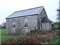
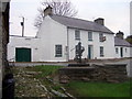
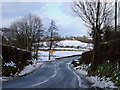
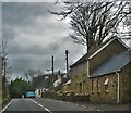
Photos of Eglwyswrw Community
Area Information
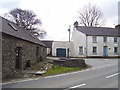
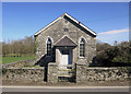
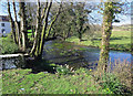
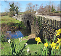
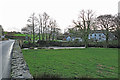
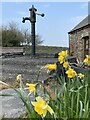
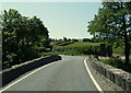
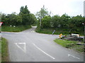
Eglwyswrw Community is a civil parish situated in Wales, covering an extensive inland area of 49.8 km². The setting provides a distinct rural character separate from the immediate coastal developments often found in neighbouring regions. Living in Eglwyswrw Community means embracing a lifestyle defined by significant open space and established neighbourhoods rather than high-density housing clusters. The region offers quiet streets and a manageable scale, making it an attractive option for those seeking a安家远离城市的喧嚣. Your daily life here revolves around the natural surroundings that define the parish boundaries. The geography supports a traditional way of living where residents rely on established routines for their daily needs. This parish represents a stable community environment where the pace of life moves steadily forward. Prospective buyers looking for homes in Eglwyswrw Community will find a location that prioritises space and tranquility over urban convenience. The specific constraints of the parish size ensure that development remains controlled and the natural landscape is preserved for future generations. You can expect a straightforward residential experience without the complexities often associated with larger, more chaotic towns.
- Area Type
- Parish
- Area Size
- 49.8 km²
- Population
- Not available
- Population Density
- Not available
Demographics
The population structure in Eglwyswrw Community reflects an established settlement with mature residents. The median age stands at 70, which places the demographic firmly within the older age bracket compared to national averages. Age: Total data confirms this predominance of senior citizens shaping the community character. This high median age suggests that you are likely to encounter a quiet, established population resistant to rapid change. Home ownership rates reach 74%, indicating that the vast majority of households own their properties outright or have significant equity. This high level of ownership stability typically correlates with lower transient populations and stronger neighbourly ties. Household composition and accommodation type data show a settled residential pattern consistent with the age profile. The community maintains a traditional social fabric where long-term residents form the backbone of local life. You will find that the cultural rhythm of living in Eglwyswrw Community matches the needs and habits of an older demographic. The stability provided by extensive home ownership creates a predictable environment for those considering purchase.
Household Size
Accommodation Type
Tenure
Ethnic Group
Religion
Household Composition
Age
Household Deprivation
NS-SEC
Explore more demographic insights in this area
Go to Demographics tabPlanning
Planning Constraints
- Flood RiskPremium
- Ramsar Wetland SitesPremium
- Area of Outstanding Natural BeautyPremium
- Protected Nature ReservePremium
- Protected WoodlandPremium
- Crime RiskPremium