Area Overview for Manorbier Community
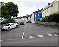
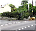
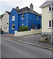
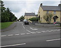
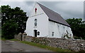
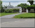
Photos of Manorbier Community

Area Information
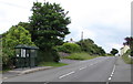
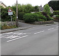
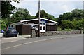
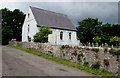
Manorbier Community is a rural civil parish in Wales covering 15.2 km² of coastline and countryside. You will find a location defined by its physical boundaries rather than dense urban infrastructure. The average resident here is significantly older than the national average, with a median age of 70 years. This demographic shift shapes the pace of daily life and the local services you can expect. Most households in the parish are owner-occupied, suggesting a community where families have bought their homes rather than rented. You live in an area where the landscape dictates your routine more than city transport networks. The low population density means quieter streets but limited immediate access to large retail parks or major hospitals. Those considering buying homes in Manorbier Community should understand they are entering a market driven by retirement needs and natural scenery. The area offers a specific type of lifestyle where proximity to the sea is constant, yet the village centre operates on seasonal rhythms. Your morning commute may involve travel to a larger urban centre rather than a nearby commuter train station. This parish represents a distinct choice for buyers who prioritise coastal living over urban convenience.
- Area Type
- Parish
- Area Size
- 15.2 km²
- Population
- Not available
- Population Density
- Not available
Demographics
The people living in Manorbier Community have a distinctly mature profile. Your neighbours here will likely be considerably older than the typical British household, with a median age of 70 years. This figure indicates that the population is skewed heavily towards those in retirement or later life stages. The household composition reflects this reality, with most residents owning their properties outright. A full 71% of homes in the parish are owner-occupied, which creates a different dynamic for property values and social cohesion compared to owner-occupied areas in Cardiff or Swansea. You will find very few private landlords operating within Manorbier Community because the architecture of ownership does not support a large rental market. The accommodation stock in the parish is not listed in detail, but the high ownership rate suggests stability. There is no data provided on the ethnic diversity or religious makeup of the parish, so you cannot make assumptions about cultural heterogeneity based on current documentation. Your quality of life here depends less on nightlife and public estates, and more on the services available to an older demographic. You may tìm fewer young families with school-age children, which influences the local shops and activities available to you.
Household Size
Accommodation Type
Tenure
Ethnic Group
Religion
Household Composition
Age
Household Deprivation
NS-SEC
Explore more demographic insights in this area
Go to Demographics tabPlanning
Planning Constraints
- Flood RiskPremium
- Ramsar Wetland SitesPremium
- Area of Outstanding Natural BeautyPremium
- Protected Nature ReservePremium
- Protected WoodlandPremium
- Crime RiskPremium