Area Overview for NP26 3JR
Photos of NP26 3JR

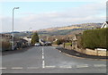
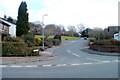
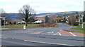
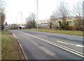
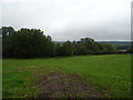
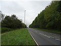
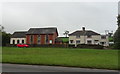
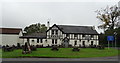

50 photos from this area
Area Information
Key information about the NP26 3JR including its size, population, and administrative classification.
- Area Type
- Postcode
- Area Size
- 4.3 hectares
- Population
- 1107
- Population Density
- 71 people/km²
House Prices in NP26 3JR
25
Properties
£228,625
Average Sold Price
£77,500
Lowest Price
£400,000
Highest Price
Showing 25 properties
| Address | Type | Beds | Baths | Last Sale Price | Last Sale Date | |
|---|---|---|---|---|---|---|
| 13 Meadowlands Close, Parc Seymour, Newport, NP26 3JR | Detached | 3 | 1 | £300,000 | Aug 2024 | |
| 25 Meadowlands Close, Parc Seymour, Newport, NP26 3JR | house | - | - | £400,000 | Nov 2021 | |
| 14 Meadowlands Close, Parc Seymour, Newport, NP26 3JR | Detached | 3 | 1 | £225,000 | Feb 2020 | |
| 8 Meadowlands Close, Parc Seymour, Newport, NP26 3JR | Detached | 4 | 1 | £267,500 | Jul 2019 | |
| 6 Meadowlands Close, Parc Seymour, Newport, NP26 3JR | Detached | 4 | - | £335,950 | Sep 2018 | |
| 15 Meadowlands Close, Parc Seymour, Newport, NP26 3JR | Detached | 4 | 1 | £249,950 | Apr 2016 | |
| 22 Meadowlands Close, Parc Seymour, Newport, NP26 3JR | Detached | 4 | 3 | £249,950 | Dec 2014 | |
| 19 Meadowlands Close, Parc Seymour, Newport, NP26 3JR | Detached | 3 | - | £210,000 | Aug 2014 | |
| 12 Meadowlands Close, Parc Seymour, Newport, NP26 3JR | Detached | - | - | £210,000 | Aug 2006 | |
| 16 Meadowlands Close, Parc Seymour, Newport, NP26 3JR | Detached | 3 | - | £186,000 | Jun 2006 |
Page 1 of 3
Energy Efficiency in NP26 3JR
Amenities
Schools
| Rank | School | Type | Entry gender | Ages |
|---|
Explore more schools in this area
Go to Schools tabDemographics
Household Size
Two person
most common
Accommodation Type
Houses
most common
Tenure
88
majority
Ethnic Group
White
most common
Religion
N/A
most common
Household Composition
N/A
most common
Age
47
median
Adults (30-64 years)
most common
Household Deprivation
N/A
with no deprivation
NS-SEC
48
in Lower managerial occupations
Explore more demographic insights in this area
Go to Demographics tabPlanning
Planning Constraints
- Flood RiskPremium
- Ramsar Wetland SitesPremium
- Area of Outstanding Natural BeautyPremium
- Protected Nature ReservePremium
- Protected WoodlandPremium
- Crime RiskPremium