Area Overview for NP20 7UB
Photos of NP20 7UB
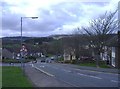
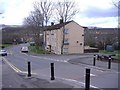
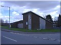
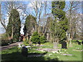
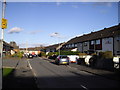
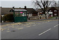
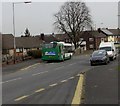
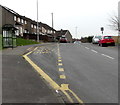
100 photos from this area
Area Information
Key information about the NP20 7UB including its size, population, and administrative classification.
- Area Type
- Postcode
- Area Size
- 1.6 hectares
- Population
- 1479
- Population Density
- 5332 people/km²
House Prices in NP20 7UB
26
Properties
£150,501
Average Sold Price
£83,950
Lowest Price
£182,500
Highest Price
Showing 26 properties
| Address | Type | Beds | Baths | Last Sale Price | Last Sale Date | |
|---|---|---|---|---|---|---|
| 10 Lambourne Walk, Bettws, Newport, NP20 7UB | Semi-detached | 3 | 1 | £180,000 | Jul 2023 | |
| 2 Lambourne Walk, Bettws, Newport, NP20 7UB | Semi-detached | 3 | - | £182,500 | Mar 2023 | |
| 12 Lambourne Walk, Bettws, Newport, NP20 7UB | house | - | - | £155,555 | Oct 2006 | |
| 8 Lambourne Walk, Bettws, Newport, NP20 7UB | Semi-detached | - | - | £83,950 | Jun 2004 | |
| Land And Properties Formerly Known As 14 To 44, Lambourne Walk, Bettws, Newport, NP20 7UB | Semi-detached | - | - | - | - | |
| 20 Lambourne Walk, Bettws, Newport, NP20 7UB | Bungalow | - | - | - | - | |
| 14 Lambourne Walk, Bettws, Newport, NP20 7UB | Bungalow | - | - | - | - | |
| 16 Lambourne Walk, Bettws, Newport, NP20 7UB | Bungalow | - | - | - | - | |
| 18 Lambourne Walk, Bettws, Newport, NP20 7UB | Bungalow | - | - | - | - | |
| 28 Lambourne Walk, Bettws, Newport, NP20 7UB | Semi-detached | - | - | - | - |
Page 1 of 3
Energy Efficiency in NP20 7UB
Amenities
Schools
| Rank | School | Type | Entry gender | Ages |
|---|
Explore more schools in this area
Go to Schools tabDemographics
Household Size
One person
most common
Accommodation Type
Houses
most common
Tenure
34
majority
Ethnic Group
White
most common
Religion
N/A
most common
Household Composition
N/A
most common
Age
47
median
Adults (30-64 years)
most common
Household Deprivation
N/A
with no deprivation
NS-SEC
13
in Lower managerial occupations
Explore more demographic insights in this area
Go to Demographics tabPlanning
Planning Constraints
- Flood RiskPremium
- Ramsar Wetland SitesPremium
- Area of Outstanding Natural BeautyPremium
- Protected Nature ReservePremium
- Protected WoodlandPremium
- Crime RiskPremium