Area Overview for NP20 7AB
Photos of NP20 7AB
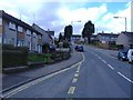
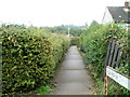
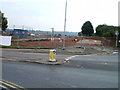
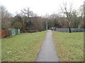
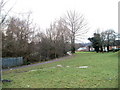
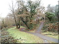
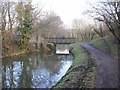
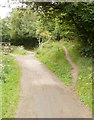
100 photos from this area
Area Information
Key information about the NP20 7AB including its size, population, and administrative classification.
- Area Type
- Postcode
- Area Size
- 6.0 hectares
- Population
- 1124
- Population Density
- 2657 people/km²
House Prices in NP20 7AB
9
Properties
£187,000
Average Sold Price
£35,000
Lowest Price
£440,501
Highest Price
Showing 9 properties
| Address | Type | Beds | Baths | Last Sale Price | Last Sale Date | |
|---|---|---|---|---|---|---|
| Waterford, Bettws Lane, Newport, NP20 7AB | house | - | - | £380,000 | Oct 2021 | |
| Revien, Bettws Lane, Newport, NP20 7AB | Bungalow | - | - | £440,501 | Oct 2021 | |
| Lansdown, Bettws Lane, Newport, NP20 7AB | Detached | - | - | £140,000 | Jul 2003 | |
| Beulah, Bettws Lane, Newport, NP20 7AB | Detached | - | - | £81,000 | Aug 1999 | |
| Brookview, Bettws Lane, Newport, NP20 7AB | house | - | - | £35,000 | Jun 1995 | |
| Myrtle Cottage, Bettws Lane, Newport, NP20 7AB | Semi-detached | - | - | £45,500 | Feb 1995 | |
| Bettws Lane Changing Rooms, Bettws Lane, Newport, NP20 7AB | Leisure | - | - | - | - | |
| Benmawr, Bettws Lane, Newport, NP20 7AB | Detached | - | - | - | - | |
| Brooklet Cottage, Bettws Lane, Newport, NP20 7AB | Detached | - | - | - | - |
Energy Efficiency in NP20 7AB
Amenities
Schools
| Rank | School | Type | Entry gender | Ages |
|---|
Explore more schools in this area
Go to Schools tabDemographics
Household Size
Family (3-5 people)
most common
Accommodation Type
Houses
most common
Tenure
48
majority
Ethnic Group
White
most common
Religion
N/A
most common
Household Composition
N/A
most common
Age
47
median
Adults (30-64 years)
most common
Household Deprivation
N/A
with no deprivation
NS-SEC
15
in Lower managerial occupations
Explore more demographic insights in this area
Go to Demographics tabPlanning
Planning Constraints
- Flood RiskPremium
- Ramsar Wetland SitesPremium
- Area of Outstanding Natural BeautyPremium
- Protected Nature ReservePremium
- Protected WoodlandPremium
- Crime RiskPremium