Area Overview for NP20 6PL
Photos of NP20 6PL


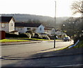

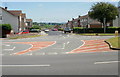
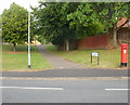

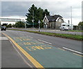
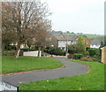
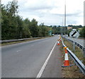
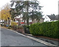
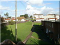
100 photos from this area
Area Information
Key information about the NP20 6PL including its size, population, and administrative classification.
- Area Type
- Postcode
- Area Size
- 4.9 hectares
- Population
- 1359
- Population Density
- 3359 people/km²
House Prices in NP20 6PL
38
Properties
£152,112
Average Sold Price
£52,500
Lowest Price
£302,500
Highest Price
Showing 38 properties
| Address | Type | Beds | Baths | Last Sale Price | Last Sale Date | |
|---|---|---|---|---|---|---|
| 70 Claremont, Newport, NP20 6PL | Semi-detached | 4 | 1 | £260,000 | Jan 2025 | |
| 52 Claremont, Newport, NP20 6PL | Detached | 4 | 2 | £302,500 | Apr 2024 | |
| 48 Claremont, Newport, NP20 6PL | Semi-detached | 3 | 2 | £280,000 | Feb 2023 | |
| 66 Claremont, Newport, NP20 6PL | house | 3 | - | £233,000 | Jun 2022 | |
| 50 Claremont, Newport, NP20 6PL | house | - | - | £275,000 | Sep 2021 | |
| 68 Claremont, Newport, NP20 6PL | Semi-detached | 3 | 1 | £199,950 | Sep 2020 | |
| 49 Claremont, Newport, NP20 6PL | house | - | - | £242,000 | Jul 2019 | |
| 46 Claremont, Newport, NP20 6PL | house | 3 | 1 | £155,000 | Aug 2018 | |
| 53 Claremont, Newport, NP20 6PL | Detached | 4 | 1 | £212,500 | Nov 2017 | |
| 69 Claremont, Newport, NP20 6PL | house | - | - | £125,000 | Nov 2013 |
Page 1 of 4
Energy Efficiency in NP20 6PL
Amenities
Schools
| Rank | School | Type | Entry gender | Ages |
|---|
Explore more schools in this area
Go to Schools tabDemographics
Household Size
Two person
most common
Accommodation Type
Houses
most common
Tenure
88
majority
Ethnic Group
White
most common
Religion
N/A
most common
Household Composition
N/A
most common
Age
47
median
Adults (30-64 years)
most common
Household Deprivation
N/A
with no deprivation
NS-SEC
31
in Lower managerial occupations
Explore more demographic insights in this area
Go to Demographics tabPlanning
Planning Constraints
- Flood RiskPremium
- Ramsar Wetland SitesPremium
- Area of Outstanding Natural BeautyPremium
- Protected Nature ReservePremium
- Protected WoodlandPremium
- Crime RiskPremium