Area Overview for NP20 5QS
Photos of NP20 5QS
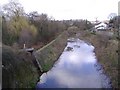
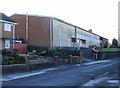
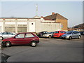
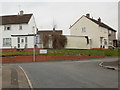
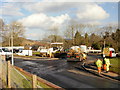
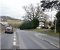
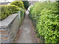
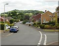
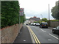
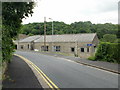
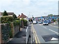

100 photos from this area
Area Information
Key information about the NP20 5QS including its size, population, and administrative classification.
- Area Type
- Postcode
- Area Size
- 2.7 hectares
- Population
- Not available
- Population Density
- Not available
House Prices in NP20 5QS
26
Properties
£102,458
Average Sold Price
£2,475
Lowest Price
£180,000
Highest Price
Showing 26 properties
| Address | Type | Beds | Baths | Last Sale Price | Last Sale Date | |
|---|---|---|---|---|---|---|
| 82 Brynglas Drive, Newport, NP20 5QS | Terraced | 3 | 2 | £150,000 | Nov 2025 | |
| 94 Brynglas Drive, Newport, NP20 5QS | Terraced | 3 | 1 | £135,000 | Apr 2025 | |
| 90 Brynglas Drive, Newport, NP20 5QS | Terraced | 3 | 1 | £180,000 | Dec 2023 | |
| 78 Brynglas Drive, Newport, NP20 5QS | Terraced | 3 | 1 | £155,000 | Feb 2022 | |
| 102 Brynglas Drive, Newport, NP20 5QS | Semi-detached | 3 | 1 | £164,950 | Jan 2022 | |
| 108 Brynglas Drive, Newport, NP20 5QS | house | - | - | £2,475 | Jun 2021 | |
| 76 Brynglas Drive, Newport, NP20 5QS | Terraced | 3 | 1 | £134,950 | Nov 2018 | |
| 86 Brynglas Drive, Newport, NP20 5QS | Terraced | 3 | 1 | £112,500 | Sep 2017 | |
| 60 Brynglas Drive, Newport, NP20 5QS | Terraced | 3 | - | £120,000 | Jul 2017 | |
| 84 Brynglas Drive, Newport, NP20 5QS | house | - | - | £85,000 | May 2015 |
Page 1 of 3
Energy Efficiency in NP20 5QS
Amenities
Schools
| Rank | School | Type | Entry gender | Ages |
|---|
Explore more schools in this area
Go to Schools tabDemographics
Household Size
Two person
most common
Accommodation Type
Houses
most common
Tenure
54
majority
Ethnic Group
White
most common
Religion
N/A
most common
Household Composition
N/A
most common
Age
47
median
Adults (30-64 years)
most common
Household Deprivation
N/A
with no deprivation
NS-SEC
23
in Lower managerial occupations
Explore more demographic insights in this area
Go to Demographics tabPlanning
Planning Constraints
- Flood RiskPremium
- Ramsar Wetland SitesPremium
- Area of Outstanding Natural BeautyPremium
- Protected Nature ReservePremium
- Protected WoodlandPremium
- Crime RiskPremium