Area Overview for NP20 3QS
Photos of NP20 3QS
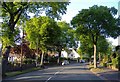
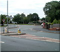
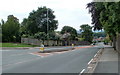
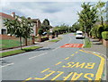
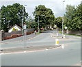
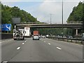
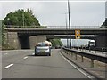
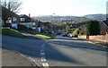
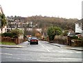
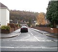
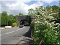
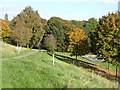
100 photos from this area
Area Information
Key information about the NP20 3QS including its size, population, and administrative classification.
- Area Type
- Postcode
- Area Size
- 3.6 hectares
- Population
- 1494
- Population Density
- 894 people/km²
House Prices in NP20 3QS
23
Properties
£174,646
Average Sold Price
£98,000
Lowest Price
£271,000
Highest Price
Showing 23 properties
| Address | Type | Beds | Baths | Last Sale Price | Last Sale Date | |
|---|---|---|---|---|---|---|
| 73 Vancouver Drive, Newport, NP20 3QS | Semi-detached | 3 | 1 | £271,000 | Jun 2024 | |
| 55 Vancouver Drive, Newport, NP20 3QS | Semi-detached | 3 | 1 | £220,000 | Feb 2020 | |
| 46 Vancouver Drive, Newport, NP20 3QS | house | - | - | £190,000 | Sep 2017 | |
| 81 Vancouver Drive, Newport, NP20 3QS | Detached | 5 | - | £250,000 | Jul 2017 | |
| 43 Vancouver Drive, Newport, NP20 3QS | Detached | 3 | - | £139,950 | Jan 2017 | |
| 48 Vancouver Drive, Newport, NP20 3QS | Bungalow | - | - | £220,000 | Apr 2015 | |
| 57 Vancouver Drive, Newport, NP20 3QS | Semi-detached | 3 | - | £159,950 | May 2013 | |
| 51 Vancouver Drive, Newport, NP20 3QS | house | - | - | £136,000 | Oct 2011 | |
| 49 Vancouver Drive, Newport, NP20 3QS | Semi-detached | 4 | 1 | £156,500 | May 2007 | |
| 47 Vancouver Drive, Newport, NP20 3QS | Semi-detached | - | - | £159,000 | Feb 2005 |
Page 1 of 3
Energy Efficiency in NP20 3QS
Amenities
Schools
| Rank | School | Type | Entry gender | Ages |
|---|
Explore more schools in this area
Go to Schools tabDemographics
Household Size
Two person
most common
Accommodation Type
Houses
most common
Tenure
90
majority
Ethnic Group
White
most common
Religion
N/A
most common
Household Composition
N/A
most common
Age
47
median
Adults (30-64 years)
most common
Household Deprivation
N/A
with no deprivation
NS-SEC
48
in Lower managerial occupations
Explore more demographic insights in this area
Go to Demographics tabPlanning
Planning Constraints
- Flood RiskPremium
- Ramsar Wetland SitesPremium
- Area of Outstanding Natural BeautyPremium
- Protected Nature ReservePremium
- Protected WoodlandPremium
- Crime RiskPremium