Area Overview for NP20 3PQ
Photos of NP20 3PQ
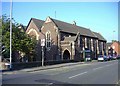
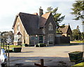
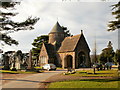
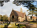
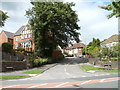
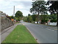
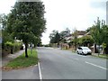
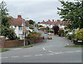
100 photos from this area
Area Information
Key information about the NP20 3PQ including its size, population, and administrative classification.
- Area Type
- Postcode
- Area Size
- 2.5 hectares
- Population
- 1494
- Population Density
- 894 people/km²
House Prices in NP20 3PQ
27
Properties
£307,940
Average Sold Price
£95,000
Lowest Price
£540,000
Highest Price
Showing 27 properties
| Address | Type | Beds | Baths | Last Sale Price | Last Sale Date | |
|---|---|---|---|---|---|---|
| 181 Risca Road, Newport, NP20 3PQ | Detached | 4 | 3 | £450,000 | Jul 2022 | |
| 185 Risca Road, Newport, NP20 3PQ | Semi-detached | 3 | 2 | £285,000 | May 2022 | |
| 179 Risca Road, Newport, NP20 3PQ | house | - | - | £540,000 | Oct 2021 | |
| 169 Risca Road, Newport, NP20 3PQ | house | - | - | £450,000 | Jun 2021 | |
| 195 Risca Road, Newport, NP20 3PQ | house | - | - | £479,000 | Feb 2021 | |
| 161 Risca Road, Newport, NP20 3PQ | Detached | 4 | 2 | £540,000 | Jan 2021 | |
| 187 Risca Road, Newport, NP20 3PQ | Detached | 4 | 1 | £320,000 | Nov 2019 | |
| 193 Risca Road, Newport, NP20 3PQ | Detached | 3 | - | £410,000 | Jul 2015 | |
| 181A Risca Road, Newport, NP20 3PQ | Flat | - | - | £151,000 | Jan 2015 | |
| 201 Risca Road, Newport, NP20 3PQ | house | - | - | £150,000 | Aug 2013 |
Page 1 of 3
Energy Efficiency in NP20 3PQ
Amenities
Schools
| Rank | School | Type | Entry gender | Ages |
|---|
Explore more schools in this area
Go to Schools tabDemographics
Household Size
Two person
most common
Accommodation Type
Houses
most common
Tenure
90
majority
Ethnic Group
White
most common
Religion
N/A
most common
Household Composition
N/A
most common
Age
47
median
Adults (30-64 years)
most common
Household Deprivation
N/A
with no deprivation
NS-SEC
48
in Lower managerial occupations
Explore more demographic insights in this area
Go to Demographics tabPlanning
Planning Constraints
- Flood RiskPremium
- Ramsar Wetland SitesPremium
- Area of Outstanding Natural BeautyPremium
- Protected Nature ReservePremium
- Protected WoodlandPremium
- Crime RiskPremium