Area Overview for NP20 3BQ
Photos of NP20 3BQ
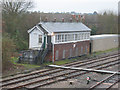
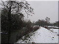
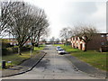
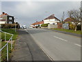
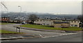
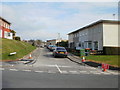
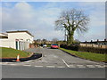
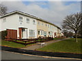
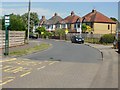
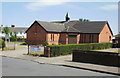
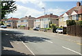
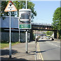
100 photos from this area
Area Information
Key information about the NP20 3BQ including its size, population, and administrative classification.
- Area Type
- Postcode
- Area Size
- 9239 m²
- Population
- 1719
- Population Density
- 4669 people/km²
House Prices in NP20 3BQ
39
Properties
£80,250
Average Sold Price
£28,500
Lowest Price
£153,000
Highest Price
Showing 39 properties
| Address | Type | Beds | Baths | Last Sale Price | Last Sale Date | |
|---|---|---|---|---|---|---|
| 31 Maesglas Avenue, Newport, NP20 3BQ | Terraced | 3 | 1 | £153,000 | Sep 2024 | |
| 18 Maesglas Avenue, Newport, NP20 3BQ | Terraced | 4 | 1 | £100,000 | Jul 2023 | |
| 3 Maesglas Avenue, Newport, NP20 3BQ | Semi-detached | 2 | 2 | £84,000 | Jun 2021 | |
| 10 Maesglas Avenue, Newport, NP20 3BQ | Flat | - | - | £61,750 | Jun 2020 | |
| 33 Maesglas Avenue, Newport, NP20 3BQ | Terraced | 2 | - | £76,000 | Feb 2017 | |
| 20 Maesglas Avenue, Newport, NP20 3BQ | house | - | - | £80,000 | Jan 2016 | |
| 15 Maesglas Avenue, Newport, NP20 3BQ | Terraced | 2 | 2 | £62,000 | Jan 2014 | |
| 6 Maesglas Avenue, Newport, NP20 3BQ | Flat | - | - | £77,000 | Apr 2004 | |
| 29 Maesglas Avenue, Newport, NP20 3BQ | Terraced | - | - | £28,500 | Nov 1996 | |
| 25 Maesglas Avenue, Newport, NP20 3BQ | Terraced | 4 | 1 | - | - |
Page 1 of 4
Energy Efficiency in NP20 3BQ
Amenities
Schools
| Rank | School | Type | Entry gender | Ages |
|---|
Explore more schools in this area
Go to Schools tabDemographics
Household Size
Family (3-5 people)
most common
Accommodation Type
Houses
most common
Tenure
43
majority
Ethnic Group
White
most common
Religion
N/A
most common
Household Composition
N/A
most common
Age
47
median
Adults (30-64 years)
most common
Household Deprivation
N/A
with no deprivation
NS-SEC
19
in Lower managerial occupations
Explore more demographic insights in this area
Go to Demographics tabPlanning
Planning Constraints
- Flood RiskPremium
- Ramsar Wetland SitesPremium
- Area of Outstanding Natural BeautyPremium
- Protected Nature ReservePremium
- Protected WoodlandPremium
- Crime RiskPremium