Area Overview for NP20 2AA
Photos of NP20 2AA
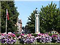
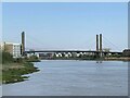
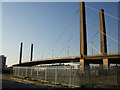
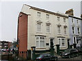
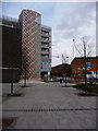
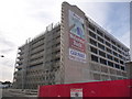
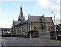
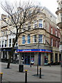
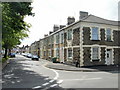
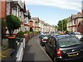
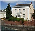
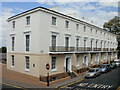
100 photos from this area
Area Information
Key information about the NP20 2AA including its size, population, and administrative classification.
- Area Type
- Postcode
- Area Size
- 7339 m²
- Population
- 2978
- Population Density
- 4984 people/km²
House Prices in NP20 2AA
47
Properties
£88,416
Average Sold Price
£6,000
Lowest Price
£132,000
Highest Price
Showing 47 properties
| Address | Type | Beds | Baths | Last Sale Price | Last Sale Date | |
|---|---|---|---|---|---|---|
| 79 George Street, Newport, NP20 2AA | house | - | - | £120,000 | Mar 2022 | |
| 76 George Street, Newport, NP20 2AA | house | - | - | £101,250 | Nov 2021 | |
| 66 George Street, Newport, NP20 2AA | house | - | - | £127,000 | Jul 2021 | |
| 75 George Street, Newport, NP20 2AA | house | - | - | £119,000 | May 2021 | |
| 65 George Street, Newport, NP20 2AA | Terraced | 3 | 1 | £85,000 | Feb 2021 | |
| 57 George Street, Newport, NP20 2AA | Terraced | 3 | 1 | £132,000 | Mar 2018 | |
| 73 George Street, Newport, NP20 2AA | house | - | - | £107,000 | Jan 2017 | |
| 69 George Street, Newport, NP20 2AA | house | - | - | £77,900 | Mar 2009 | |
| 71 George Street, Newport, NP20 2AA | house | - | - | £114,000 | Jul 2007 | |
| 54 George Street, Newport, NP20 2AA | house | - | - | £111,000 | Jun 2007 |
Page 1 of 5
Energy Efficiency in NP20 2AA
Amenities
Schools
| Rank | School | Type | Entry gender | Ages |
|---|
Explore more schools in this area
Go to Schools tabDemographics
Household Size
One person
most common
Accommodation Type
Houses
most common
Tenure
27
majority
Ethnic Group
White
most common
Religion
N/A
most common
Household Composition
N/A
most common
Age
47
median
Adults (30-64 years)
most common
Household Deprivation
N/A
with no deprivation
NS-SEC
21
in Lower managerial occupations
Explore more demographic insights in this area
Go to Demographics tabPlanning
Planning Constraints
- Flood RiskPremium
- Ramsar Wetland SitesPremium
- Area of Outstanding Natural BeautyPremium
- Protected Nature ReservePremium
- Protected WoodlandPremium
- Crime RiskPremium