Area Overview for NP19 9AG
Photos of NP19 9AG


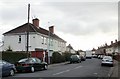
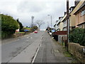
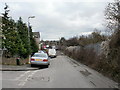
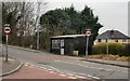
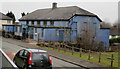
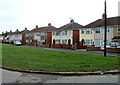
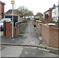
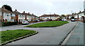
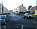
100 photos from this area
Area Information
Key information about the NP19 9AG including its size, population, and administrative classification.
- Area Type
- Postcode
- Area Size
- 1.3 hectares
- Population
- Not available
- Population Density
- Not available
House Prices in NP19 9AG
26
Properties
£108,833
Average Sold Price
£41,000
Lowest Price
£180,000
Highest Price
Showing 26 properties
| Address | Type | Beds | Baths | Last Sale Price | Last Sale Date | |
|---|---|---|---|---|---|---|
| 43 Hawthorne Avenue, Newport, NP19 9AG | house | - | - | £180,000 | Jan 2023 | |
| 59 Hawthorne Avenue, Newport, NP19 9AG | Semi-detached | 3 | 1 | £105,000 | Jan 2021 | |
| 49 Hawthorne Avenue, Newport, NP19 9AG | Semi-detached | 3 | 1 | £160,000 | Dec 2018 | |
| 50 Hawthorne Avenue, Newport, NP19 9AG | Semi-detached | - | - | £96,000 | Dec 2005 | |
| 55 Hawthorne Avenue, Newport, NP19 9AG | house | - | - | £71,000 | Dec 2004 | |
| 54 Hawthorne Avenue, Newport, NP19 9AG | Semi-detached | - | - | £41,000 | Jul 2001 | |
| The Fletchers, 37 Hawthorne Avenue, Newport, NP19 9AG | Semi-detached | 3 | 2 | - | - | |
| 44 Hawthorne Avenue, Newport, NP19 9AG | house | - | - | - | - | |
| 35 Hawthorne Avenue, Newport, NP19 9AG | house | - | - | - | - | |
| 36 Hawthorne Avenue, Newport, NP19 9AG | house | - | - | - | - |
Page 1 of 3
Energy Efficiency in NP19 9AG
Amenities
Schools
| Rank | School | Type | Entry gender | Ages |
|---|
Explore more schools in this area
Go to Schools tabDemographics
Household Size
Family (3-5 people)
most common
Accommodation Type
Houses
most common
Tenure
31
majority
Ethnic Group
White
most common
Religion
N/A
most common
Household Composition
N/A
most common
Age
47
median
Adults (30-64 years)
most common
Household Deprivation
N/A
with no deprivation
NS-SEC
16
in Lower managerial occupations
Explore more demographic insights in this area
Go to Demographics tabPlanning
Planning Constraints
- Flood RiskPremium
- Ramsar Wetland SitesPremium
- Area of Outstanding Natural BeautyPremium
- Protected Nature ReservePremium
- Protected WoodlandPremium
- Crime RiskPremium