Area Overview for NP19 7EW
Photos of NP19 7EW
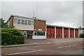
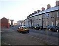
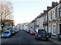
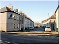
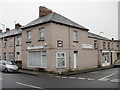

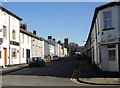

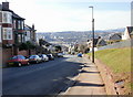
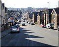

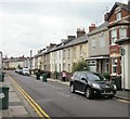
100 photos from this area
Area Information
Key information about the NP19 7EW including its size, population, and administrative classification.
- Area Type
- Postcode
- Area Size
- 2696 m²
- Population
- 1580
- Population Density
- 10064 people/km²
House Prices in NP19 7EW
11
Properties
£128,958
Average Sold Price
£43,000
Lowest Price
£180,000
Highest Price
Showing 11 properties
| Address | Type | Beds | Baths | Last Sale Price | Last Sale Date | |
|---|---|---|---|---|---|---|
| 11 Ronald Road, Newport, NP19 7EW | Terraced | 2 | 1 | £174,000 | Jun 2024 | |
| 4 Ronald Road, Newport, NP19 7EW | Terraced | 2 | 1 | £180,000 | Apr 2024 | |
| 2 Ronald Road, Newport, NP19 7EW | Terraced | 2 | 1 | £152,000 | Sep 2017 | |
| 5 Ronald Road, Newport, NP19 7EW | Terraced | - | - | £144,750 | Dec 2007 | |
| 9 Ronald Road, Newport, NP19 7EW | Terraced | - | - | £80,000 | Apr 2003 | |
| 3 Ronald Road, Newport, NP19 7EW | Terraced | - | - | £43,000 | Dec 1996 | |
| Garage To The Rear Of 13-14, Annesley Road, Newport, NP19 7EW | warehouse | - | - | - | - | |
| 1 Ronald Road, Newport, NP19 7EW | Terraced | - | - | - | - | |
| 6 Ronald Road, Newport, NP19 7EW | Terraced | - | - | - | - | |
| 8 Ronald Road, Newport, NP19 7EW | Terraced | - | - | - | - |
Page 1 of 2
Energy Efficiency in NP19 7EW
Amenities
Schools
| Rank | School | Type | Entry gender | Ages |
|---|
Explore more schools in this area
Go to Schools tabDemographics
Household Size
Family (3-5 people)
most common
Accommodation Type
Houses
most common
Tenure
64
majority
Ethnic Group
White
most common
Religion
N/A
most common
Household Composition
N/A
most common
Age
47
median
Adults (30-64 years)
most common
Household Deprivation
N/A
with no deprivation
NS-SEC
28
in Lower managerial occupations
Explore more demographic insights in this area
Go to Demographics tabPlanning
Planning Constraints
- Flood RiskPremium
- Ramsar Wetland SitesPremium
- Area of Outstanding Natural BeautyPremium
- Protected Nature ReservePremium
- Protected WoodlandPremium
- Crime RiskPremium