Area Overview for NP19 4LG
Photos of NP19 4LG
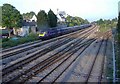

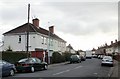
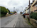
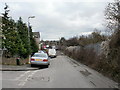
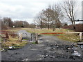
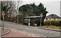
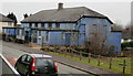
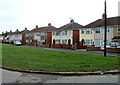
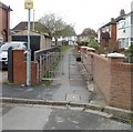
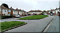
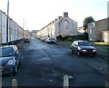
100 photos from this area
Area Information
Key information about the NP19 4LG including its size, population, and administrative classification.
- Area Type
- Postcode
- Area Size
- 6577 m²
- Population
- 1284
- Population Density
- 6379 people/km²
House Prices in NP19 4LG
20
Properties
£161,938
Average Sold Price
£48,500
Lowest Price
£412,000
Highest Price
Showing 20 properties
| Address | Type | Beds | Baths | Last Sale Price | Last Sale Date | |
|---|---|---|---|---|---|---|
| Managers Accommodation, The Ferns Club, 57 Liswerry Road, Newport, NP19 4LG | Flat | - | - | £412,000 | Mar 2023 | |
| 57 Liswerry Road, Newport, NP19 4LG | house | - | - | £412,000 | Mar 2023 | |
| 49 Liswerry Road, Newport, NP19 4LG | Semi-detached | 3 | 1 | £179,000 | Aug 2020 | |
| 54 Liswerry Road, Newport, NP19 4LG | house | - | - | £177,000 | Sep 2018 | |
| 58 Liswerry Road, Newport, NP19 4LG | Detached | 3 | - | £130,000 | Nov 2017 | |
| 60 Liswerry Road, Newport, NP19 4LG | Detached | 2 | 1 | £180,000 | Nov 2017 | |
| 51 Liswerry Road, Newport, NP19 4LG | Semi-detached | 3 | 1 | £96,000 | Oct 2014 | |
| 53 Liswerry Road, Newport, NP19 4LG | house | - | - | £80,000 | Nov 2011 | |
| 45 Liswerry Road, Newport, NP19 4LG | Semi-detached | 3 | 1 | £140,000 | Apr 2007 | |
| 56 Liswerry Road, Newport, NP19 4LG | Semi-detached | - | - | £112,500 | Sep 2003 |
Page 1 of 2
Energy Efficiency in NP19 4LG
Amenities
Schools
| Rank | School | Type | Entry gender | Ages |
|---|
Explore more schools in this area
Go to Schools tabDemographics
Household Size
Family (3-5 people)
most common
Accommodation Type
Houses
most common
Tenure
73
majority
Ethnic Group
White
most common
Religion
N/A
most common
Household Composition
N/A
most common
Age
47
median
Adults (30-64 years)
most common
Household Deprivation
N/A
with no deprivation
NS-SEC
23
in Lower managerial occupations
Explore more demographic insights in this area
Go to Demographics tabPlanning
Planning Constraints
- Flood RiskPremium
- Ramsar Wetland SitesPremium
- Area of Outstanding Natural BeautyPremium
- Protected Nature ReservePremium
- Protected WoodlandPremium
- Crime RiskPremium