Area Overview for NP19 0JL
Photos of NP19 0JL


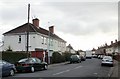
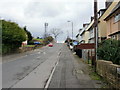
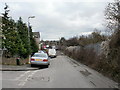
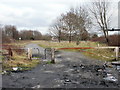
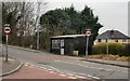
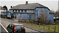
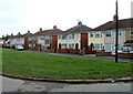
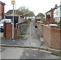
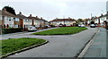
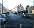
100 photos from this area
Area Information
Key information about the NP19 0JL including its size, population, and administrative classification.
- Area Type
- Postcode
- Area Size
- 4520 m²
- Population
- 1663
- Population Density
- 5518 people/km²
House Prices in NP19 0JL
37
Properties
£82,506
Average Sold Price
£20,000
Lowest Price
£132,000
Highest Price
Showing 37 properties
| Address | Type | Beds | Baths | Last Sale Price | Last Sale Date | |
|---|---|---|---|---|---|---|
| 33 Downing Street, Newport, NP19 0JL | house | - | - | £125,000 | Jan 2024 | |
| 9 Downing Street, Newport, NP19 0JL | house | - | - | £122,000 | Nov 2023 | |
| 17 Downing Street, Newport, NP19 0JL | Terraced | 2 | 1 | £111,000 | Mar 2023 | |
| 23 Downing Street, Newport, NP19 0JL | house | 2 | - | £125,000 | Feb 2023 | |
| 45 Downing Street, Newport, NP19 0JL | Terraced | 2 | 1 | £83,000 | Mar 2022 | |
| 37 Downing Street, Newport, NP19 0JL | house | - | - | £132,000 | Mar 2022 | |
| 6A Downing Street, Newport, NP19 0JL | Terraced | 2 | 1 | £119,995 | Sep 2021 | |
| 21 Downing Street, Newport, NP19 0JL | house | 1 | 1 | £111,000 | Aug 2021 | |
| 5 Downing Street, Newport, NP19 0JL | house | - | - | £126,000 | Mar 2021 | |
| 31 Downing Street, Newport, NP19 0JL | Terraced | 2 | 1 | £115,000 | May 2020 |
Page 1 of 4
Energy Efficiency in NP19 0JL
Amenities
Schools
| Rank | School | Type | Entry gender | Ages |
|---|
Explore more schools in this area
Go to Schools tabDemographics
Household Size
One person
most common
Accommodation Type
Houses
most common
Tenure
50
majority
Ethnic Group
White
most common
Religion
N/A
most common
Household Composition
N/A
most common
Age
47
median
Adults (30-64 years)
most common
Household Deprivation
N/A
with no deprivation
NS-SEC
18
in Lower managerial occupations
Explore more demographic insights in this area
Go to Demographics tabPlanning
Planning Constraints
- Flood RiskPremium
- Ramsar Wetland SitesPremium
- Area of Outstanding Natural BeautyPremium
- Protected Nature ReservePremium
- Protected WoodlandPremium
- Crime RiskPremium