Area Overview for NP19 0HN
Photos of NP19 0HN
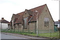
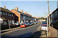
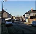
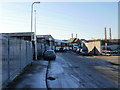
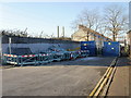
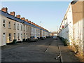
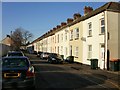
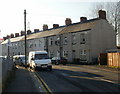
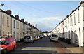
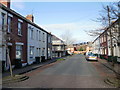
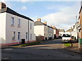
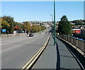
100 photos from this area
Area Information
Key information about the NP19 0HN including its size, population, and administrative classification.
- Area Type
- Postcode
- Area Size
- 6980 m²
- Population
- 1905
- Population Density
- 7111 people/km²
House Prices in NP19 0HN
33
Properties
£84,204
Average Sold Price
£29,000
Lowest Price
£162,500
Highest Price
Showing 33 properties
| Address | Type | Beds | Baths | Last Sale Price | Last Sale Date | |
|---|---|---|---|---|---|---|
| 34 Henson Street, Newport, NP19 0HN | house | - | - | £150,000 | Aug 2022 | |
| 14 Henson Street, Newport, NP19 0HN | Terraced | 3 | - | £162,500 | Jul 2022 | |
| 8 Henson Street, Newport, NP19 0HN | Terraced | 2 | 1 | £89,000 | Nov 2021 | |
| 17 Henson Street, Newport, NP19 0HN | house | - | - | £132,000 | Aug 2021 | |
| 10 Henson Street, Newport, NP19 0HN | Terraced | 3 | 1 | £100,000 | Jan 2020 | |
| 12 Henson Street, Newport, NP19 0HN | Terraced | 2 | 1 | £120,000 | Dec 2019 | |
| 2 Henson Street, Newport, NP19 0HN | Terraced | 2 | 1 | £125,000 | Jun 2019 | |
| 18 Henson Street, Newport, NP19 0HN | house | - | - | £83,000 | Feb 2018 | |
| 20 Henson Street, Newport, NP19 0HN | house | - | - | £82,000 | Aug 2017 | |
| 1B Henson Street, Newport, NP19 0HN | house | 2 | - | £127,000 | Nov 2016 |
Page 1 of 4
Energy Efficiency in NP19 0HN
Amenities
Schools
| Rank | School | Type | Entry gender | Ages |
|---|
Explore more schools in this area
Go to Schools tabDemographics
Household Size
Family (3-5 people)
most common
Accommodation Type
Houses
most common
Tenure
44
majority
Ethnic Group
White
most common
Religion
N/A
most common
Household Composition
N/A
most common
Age
47
median
Adults (30-64 years)
most common
Household Deprivation
N/A
with no deprivation
NS-SEC
18
in Lower managerial occupations
Explore more demographic insights in this area
Go to Demographics tabPlanning
Planning Constraints
- Flood RiskPremium
- Ramsar Wetland SitesPremium
- Area of Outstanding Natural BeautyPremium
- Protected Nature ReservePremium
- Protected WoodlandPremium
- Crime RiskPremium