Area Overview for NP19 0GP
Photos of NP19 0GP
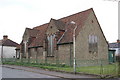
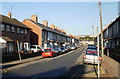
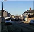
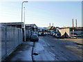
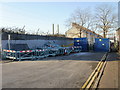
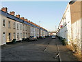
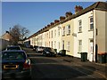
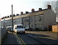
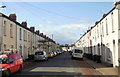
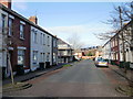
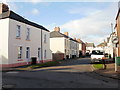
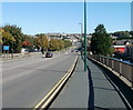
100 photos from this area
Area Information
Key information about the NP19 0GP including its size, population, and administrative classification.
- Area Type
- Postcode
- Area Size
- 1.6 hectares
- Population
- 1695
- Population Density
- 6978 people/km²
House Prices in NP19 0GP
36
Properties
£156,840
Average Sold Price
£59,950
Lowest Price
£330,000
Highest Price
Showing 36 properties
| Address | Type | Beds | Baths | Last Sale Price | Last Sale Date | |
|---|---|---|---|---|---|---|
| 520 Corporation Road, Newport, NP19 0GP | house | - | - | £330,000 | Oct 2025 | |
| 431 Corporation Road, Newport, NP19 0GP | Detached | 3 | 1 | £305,000 | Oct 2025 | |
| 480 Corporation Road, Newport, NP19 0GP | Detached | 3 | 1 | £175,000 | Feb 2020 | |
| 522 Corporation Road, Newport, NP19 0GP | Semi-detached | 3 | 2 | £170,000 | Dec 2018 | |
| 536 Corporation Road, Newport, NP19 0GP | house | - | - | £117,450 | Apr 2015 | |
| 534 Corporation Road, Newport, NP19 0GP | Semi-detached | 3 | 1 | £135,000 | Apr 2014 | |
| 524 Corporation Road, Newport, NP19 0GP | Semi-detached | - | - | £120,000 | Dec 2012 | |
| 558 Corporation Road, Newport, NP19 0GP | house | - | - | £91,000 | Apr 2006 | |
| 546 Corporation Road, Newport, NP19 0GP | Terraced | - | - | £59,950 | Nov 2001 | |
| 482 Corporation Road, Newport, NP19 0GP | Detached | - | - | £65,000 | Nov 1996 |
Page 1 of 4
Energy Efficiency in NP19 0GP
Amenities
Schools
| Rank | School | Type | Entry gender | Ages |
|---|
Explore more schools in this area
Go to Schools tabDemographics
Household Size
Two person
most common
Accommodation Type
Houses
most common
Tenure
49
majority
Ethnic Group
White
most common
Religion
N/A
most common
Household Composition
N/A
most common
Age
47
median
Adults (30-64 years)
most common
Household Deprivation
N/A
with no deprivation
NS-SEC
28
in Lower managerial occupations
Explore more demographic insights in this area
Go to Demographics tabPlanning
Planning Constraints
- Flood RiskPremium
- Ramsar Wetland SitesPremium
- Area of Outstanding Natural BeautyPremium
- Protected Nature ReservePremium
- Protected WoodlandPremium
- Crime RiskPremium